Date: 20th July 2022
Travelled: 20 kms locally around Rekyjahlíð
Visited: Mývatn-Laxá Conservation Area
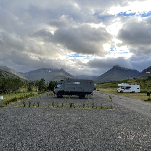
Stayed: Camping Rekyjahlíð, Isk5150, N65.64810, W16.91290
Budget: 56 days @ €102 per day
We still have a number of places to visit in the Mývatn-Laxá Conservation Area so we’ve spend another day here. Krafla Mountain is 9 kms north of the Mývatn Lake, the surrounding area is known as Krafla. The so-called Mývatn Fires eruptions in 1724-29 created Iceland’s largest lava fields were here in the Krafla. Very similar fissure eruptions occurred here in 1975 and continued for 9 years. Pam stated it’s overdue, she’s hoping for some real action today.
It’s a dry start to the day, which is a good sign. Pam is off for a short walk whilst I finish yesterday’s blog. Some breakfast and we make for Route 1, then its’ relatively short drive north. Our first stop is Hverir a lunar like landscape of mud cauldrons, steaming vents and piping fumaroles.
We park the Hymer and stay close to the formal track, there is a stench of sulphur heavy in the air.
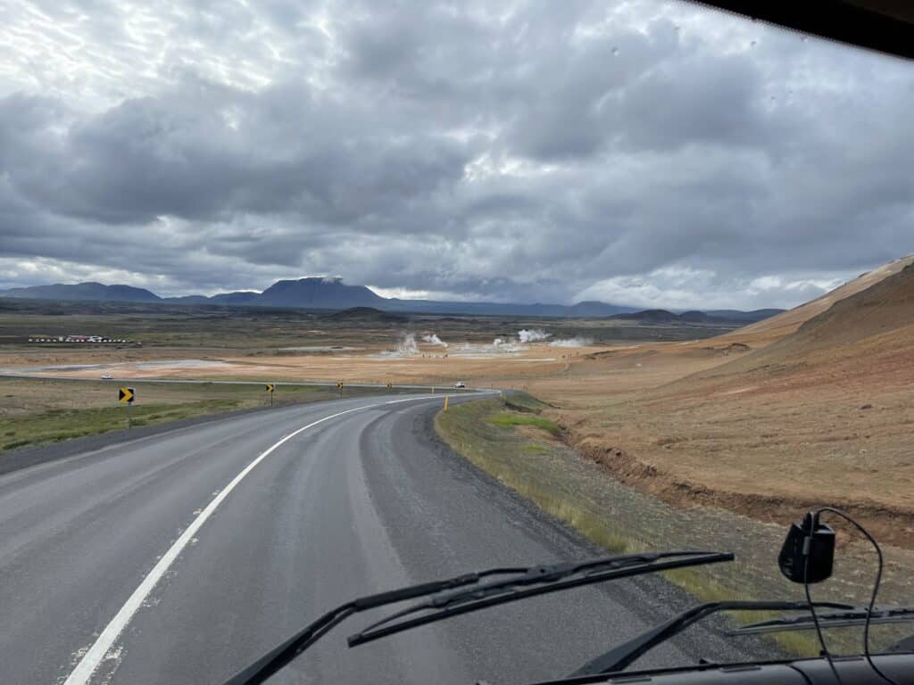
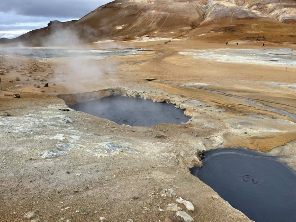
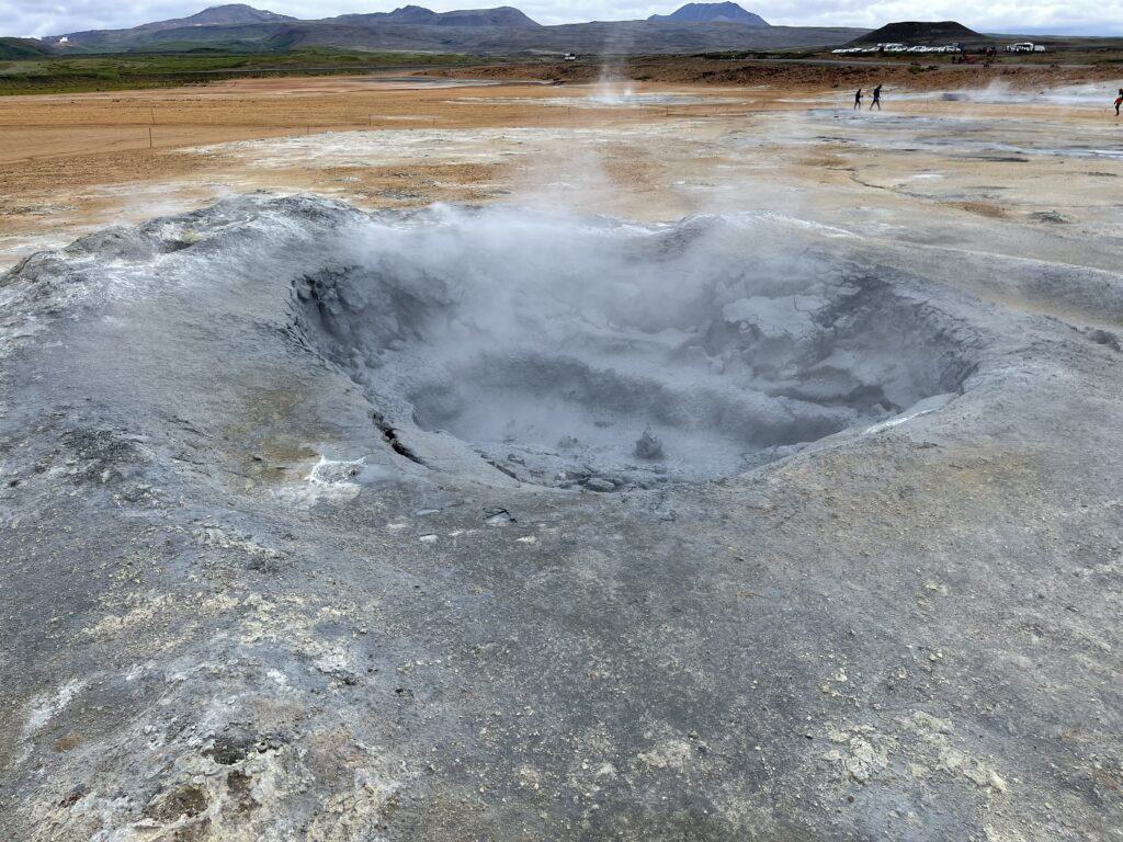
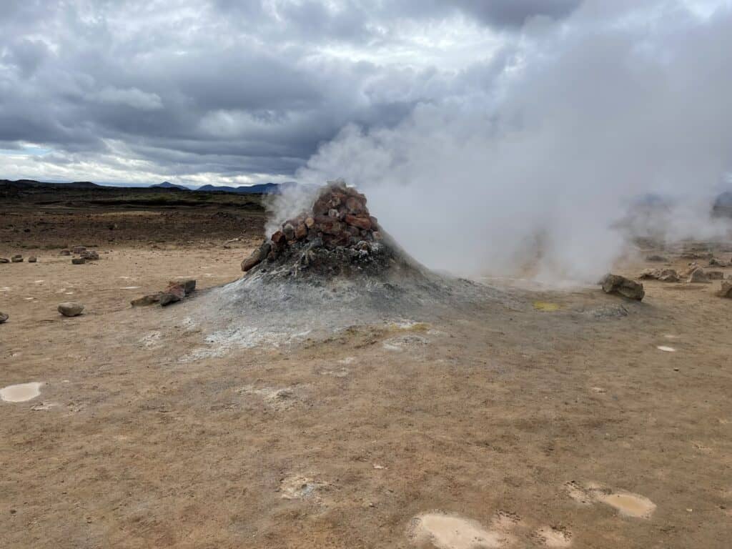
Sorry about all the videos…but still pictures don’t capture the action.
Back in the Hymer we turn onto the 863 continuing several kms north for Leirhnjúkur. We pass the Krafla Geothermal Power Station on our way.
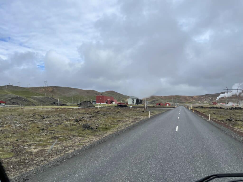
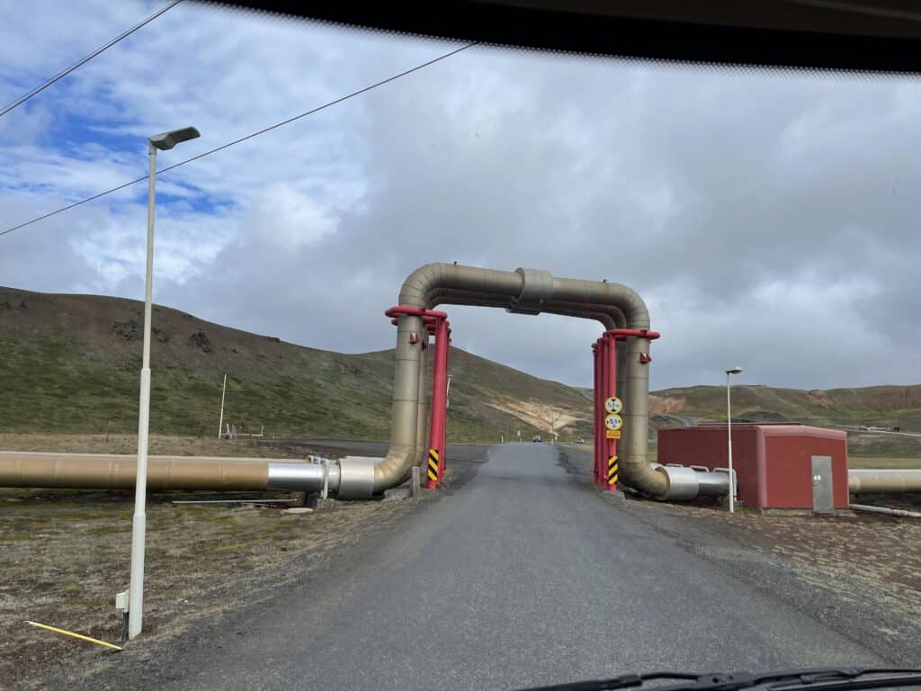
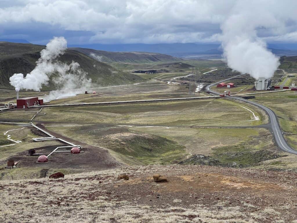
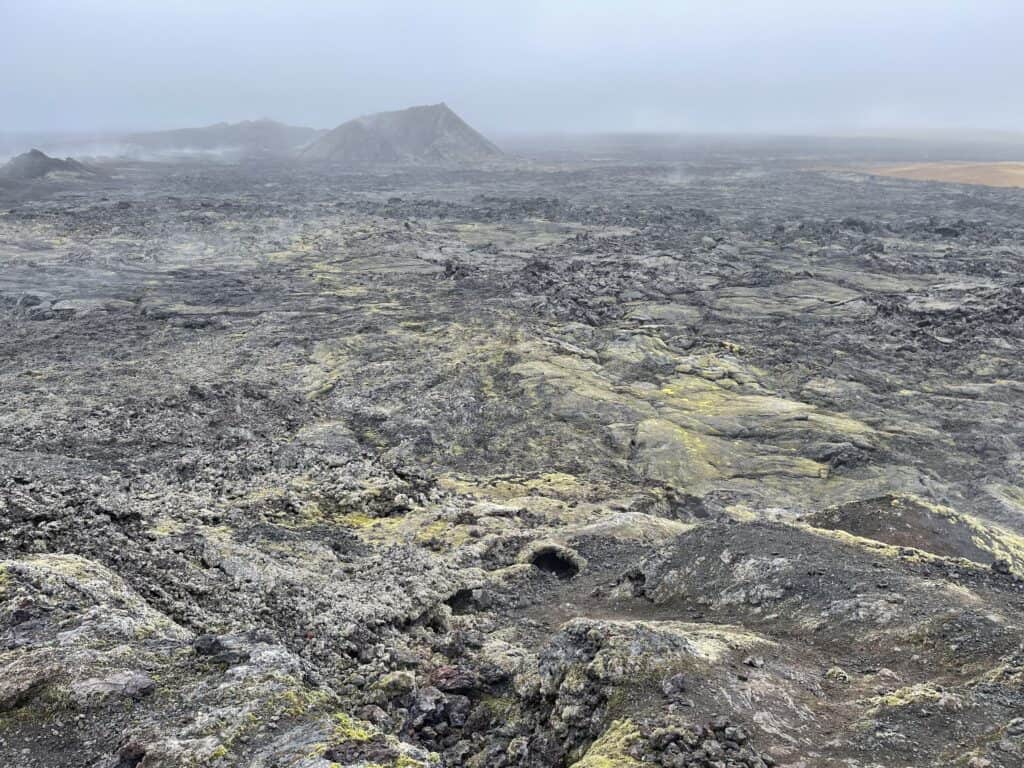
Our guide book states Leirhnjúkur is the most dangerous of the attraction in the conservation area. The earth crust is extremely thin here at Leirhnjúkur, the original lava eruptions of 1727 and the Krafla Fires of 1975 commenced here. The track is reasonably well marked and the odd danger sign helps keep you focused.
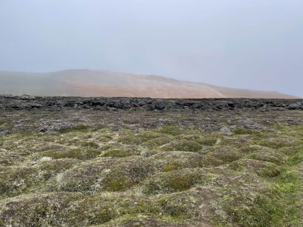
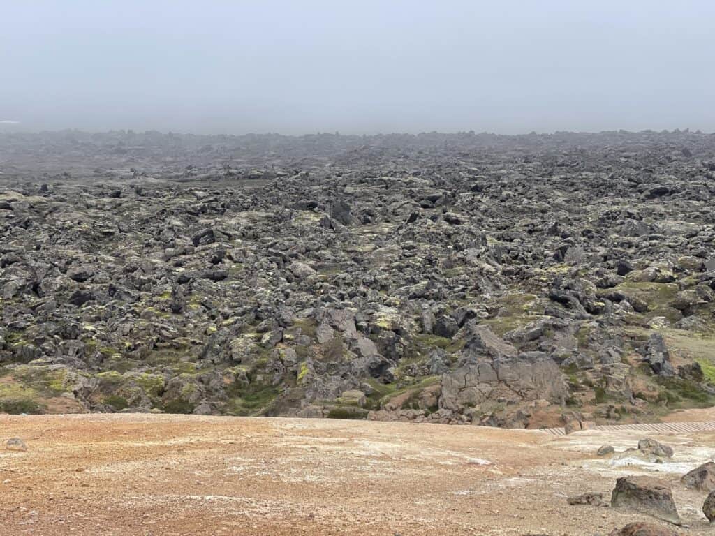
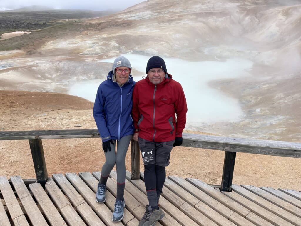
It takes us an hour to walk and occasionally stumble our way around trail through Leirhnjúkur. The mist or steam drifts through from time to time, so visibility can be limited. As you can see from the picture below sulphur deposits are everywhere and at some points the ground itself is hot.
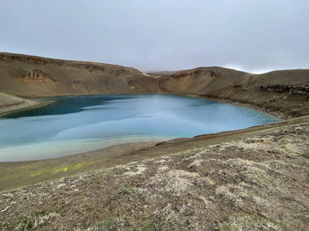
It’s only another km further up the hill to the ochre crater of Viti. From the small carpark it doesn’t look much but suddenly Viti reveals itself. Viti is the Icelandic word for ‘hell’, just so you know. The crater was created by an explosion in 1724. Naturally once Pam catches sight of the crater she wants to walk to the highest observation point for the perfect photo.
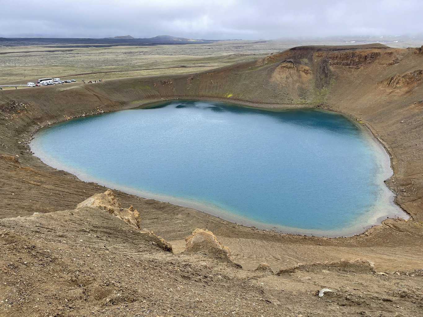
Back in the Hymer after Viti we drive back down to Lake Mývatn for a late lunch and a rest. An hour later we drive the short distance to Dimmuborgir to walk our final trail in the park. There are a series of colour coded trails recommended in our guide book. Dimmuborgir which is Icelandic for ’dark castle’, is a large jagged lava field of pillars and crags. Pam obviously want to do the Church Circle which is the longest, but still less than 3 kms.
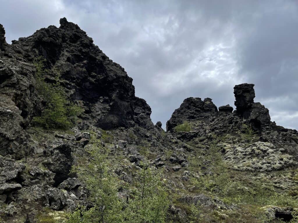
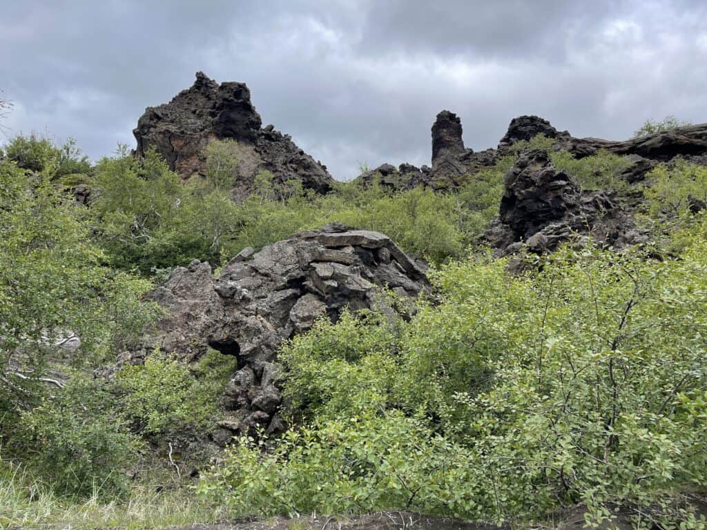
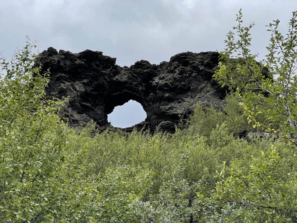
It’s a scenic walk that takes us about 50 minutes including helping 3 Spanish ladies who managed to get themselves lost for an hour, back to the carpark.
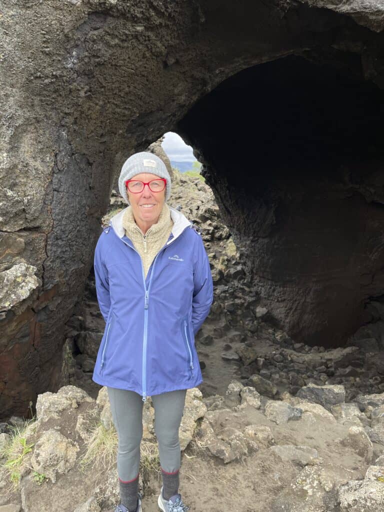
With Dimmuborgir done we make our way back to the campsite for a rest. We have a dinner booking tonight at the Cow Shed of all places, so other than that, our day is done.
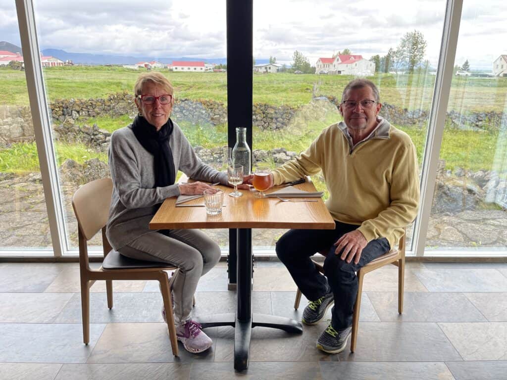
Michael + Pam

