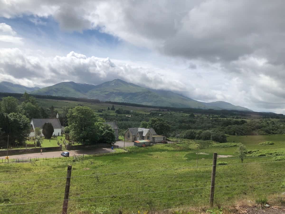
After a very quiet evening in our little car-park near Fort William we prepare for the jump to Skye. Our original thought a few days ago was to try our luck walking Ben Nevis (the UK heighest mountain), but the weather is still misty with scattered showers. Even the gondala on Nevis is closed due to the weather. Looking at the forecast its not worth a day hoping for a sunny day. Did I mention earlier that Fort William has more wet days and total rainfall than anyway else in the UK !
So we take the easy option, do a load of washing at the laundromat over breakfast, fuel the Hymer and fill with water tank thanks to Morrisons (servos with a tap). Then hit the road north to Skye. We go via Neptune’s Staircase a series of eight locks on the Caledonian Canal (with bonus swing bridge) on our way out. But when as we arrive it starts raining heavily and its not as if we have never scene a series of locks or ecluse as the french call them (note: our Midi Canal posts), so we move on.
Driving out of Fort William the weather suddenly breaks but not for long.
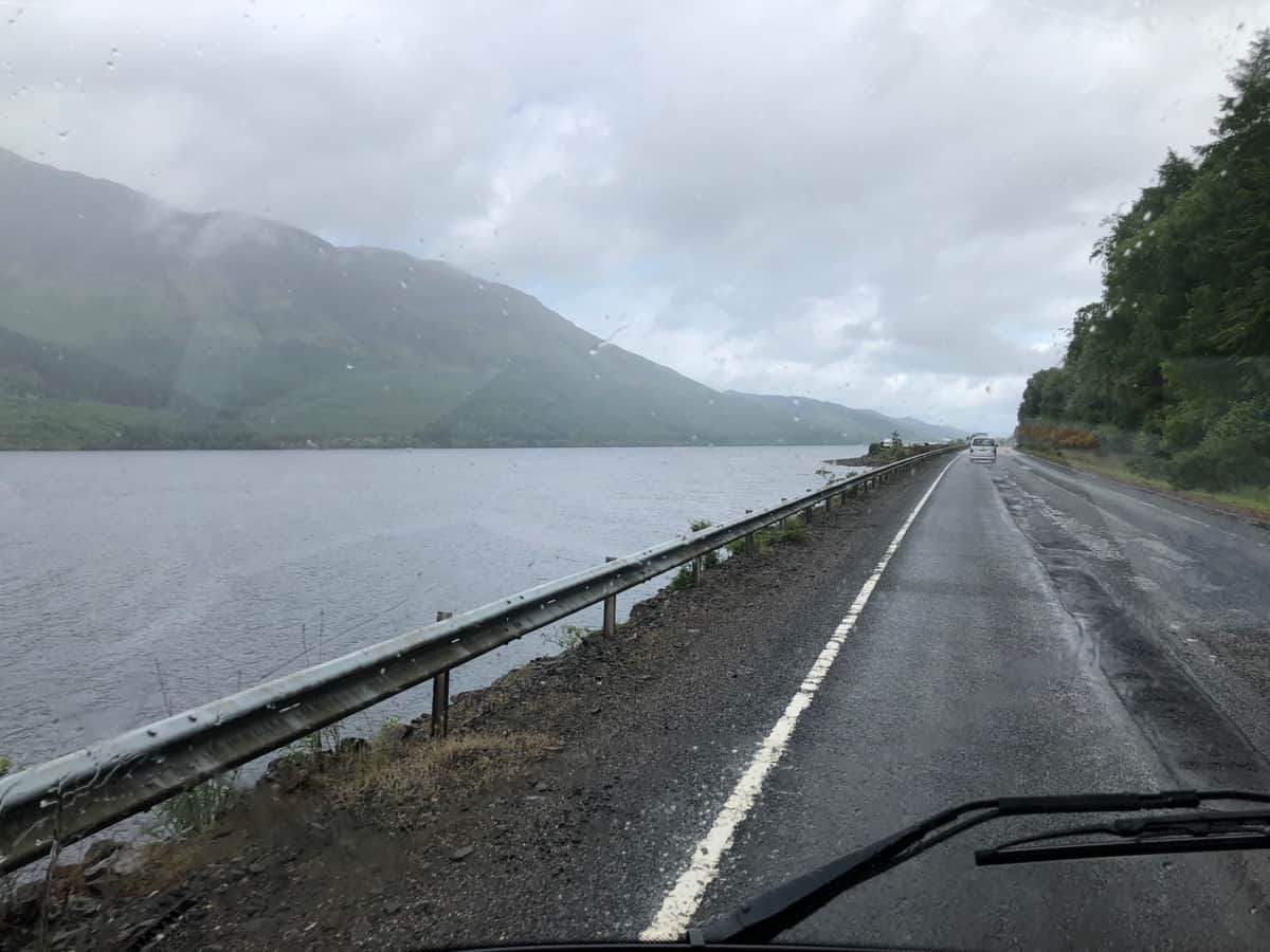
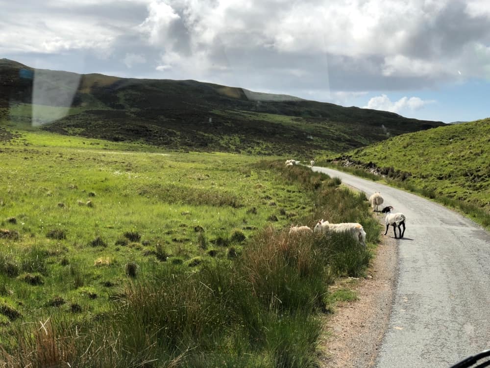
We pass Loch Lochy which is linked by the Caledonian Canal to Loch Ness. But we will head west on the A87 before that. The road surface is generally atrocious, so we do our best to dodge the pot holes.
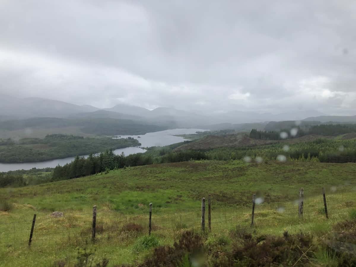
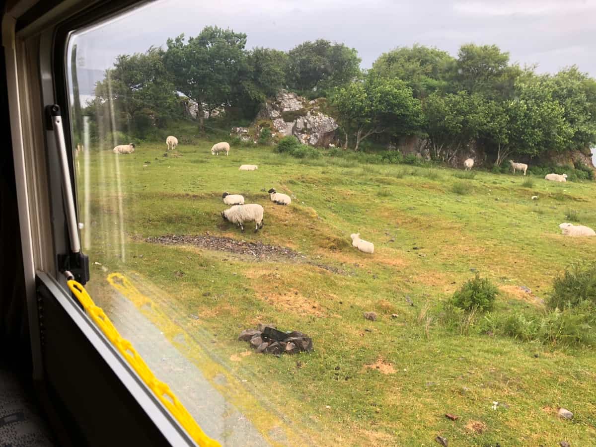
Mind you the scenery is amazing !
Shortly after turning onto the A87 we stop near Glen Garry for lunch. Chicken and vegetable soup today (Morrisons). The view makes lunch all the better.
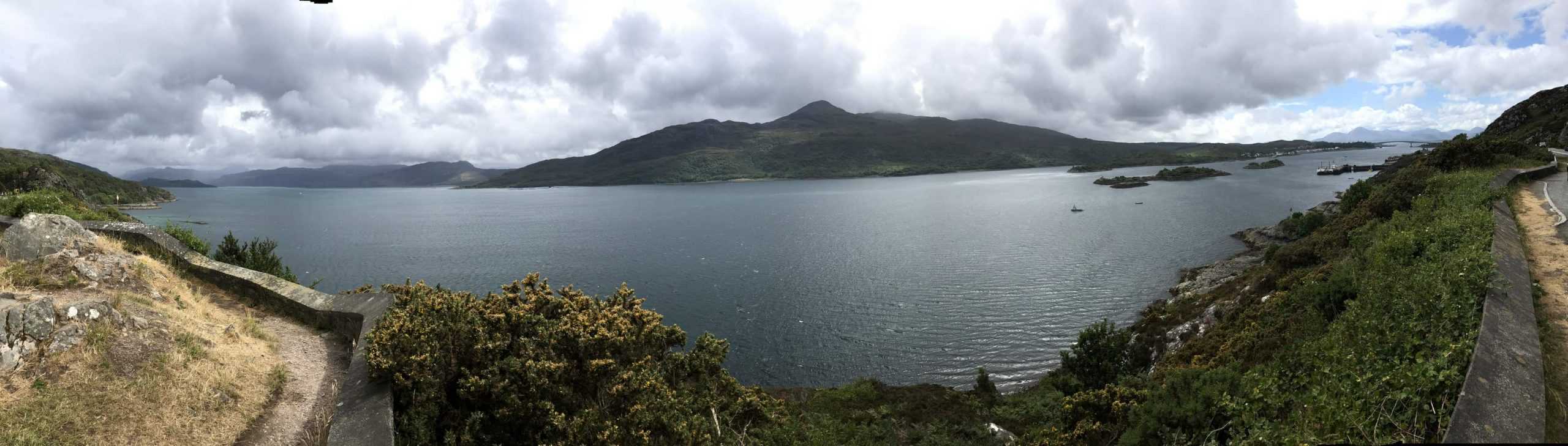
It’s been a long slow drive with plenty of potholes, but that’s the Isle of Skye on the other side of the bridge and another one off the bucket list for us.
As a general rule we don’t plan a exact route, but look at our options on the day. So given the time of day, when we see the turn for the A851 south along the Sound of Sleat we decide to give it a try. Rather than a goat track its more of a sheep track. One lane wide with a passing lane every 200 metres.
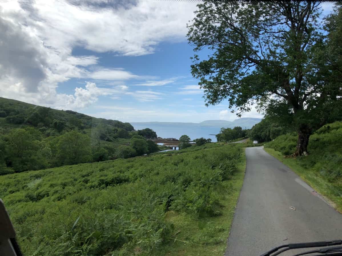
At Teangue (a green dot, rather than a village) we turn west for Tokavaig. This loop road is recommended in the Lonely Planet as some of the best views of the Cullin Hills (Skye) and the Islands of Rum and Eigg (south-west of Skye).
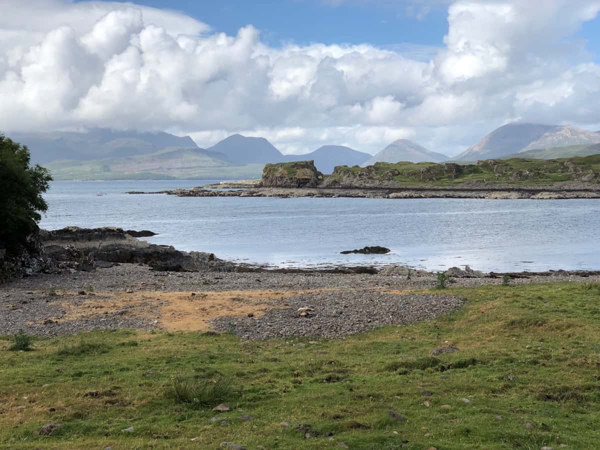
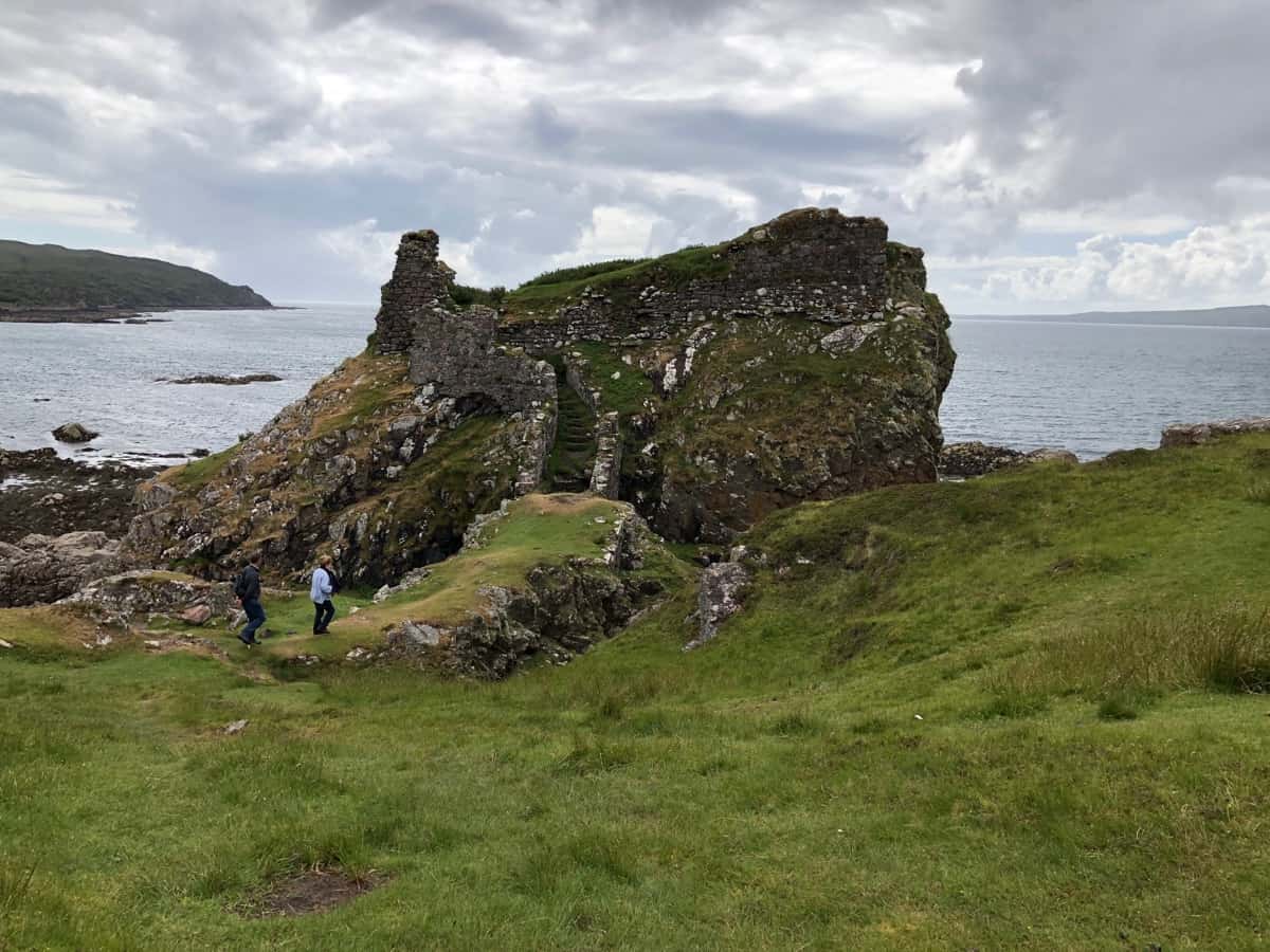
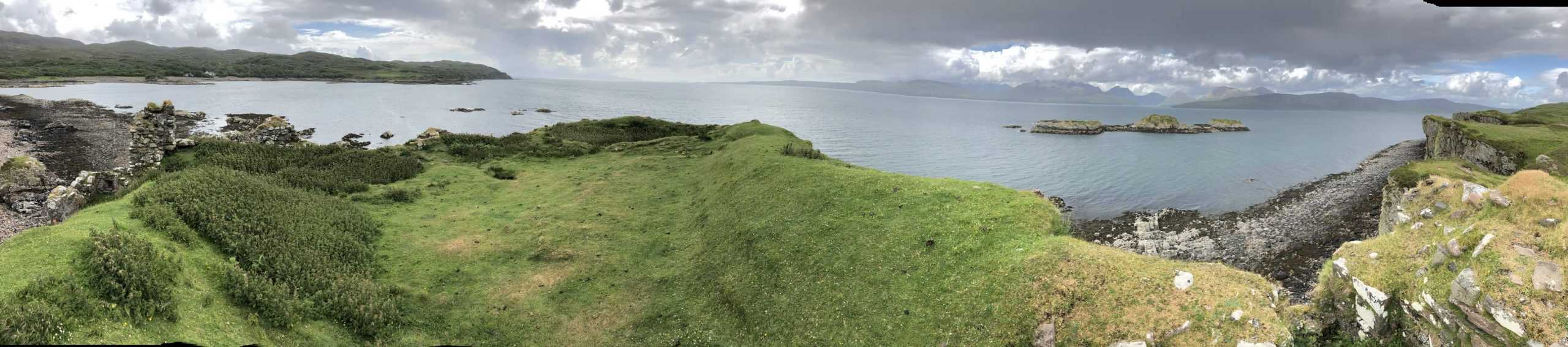
We drop down to Tokavaig, it’s not a village, just a couple of very scattered houses on Loch Eishort. But there’s something odd about the silhouette of the headland in the centre of the photo.
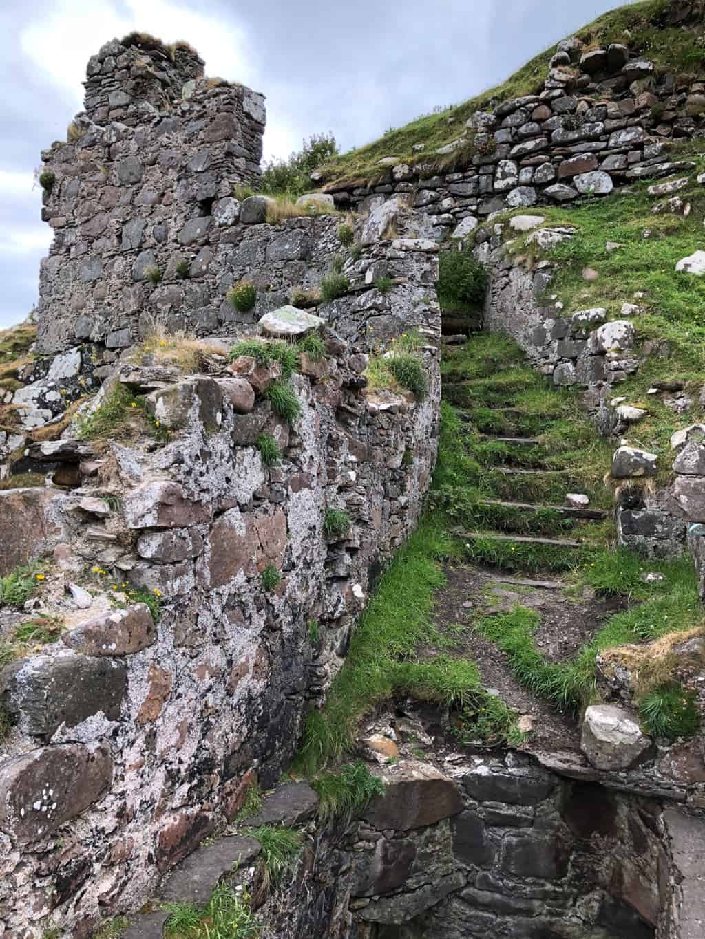
So we set off for a closer look. Our first experience at crossing a peat bog, best shoes are not recommended.
Whilst the Lonely Planet recommends the drive down the peninsula and Tokavaig, there is no mention of this ruin castle. Later in the evening after some googling we find its the ruin of Dun Scathiag Castle, dates from the 14th century.
Looks interesting doesn’t it.
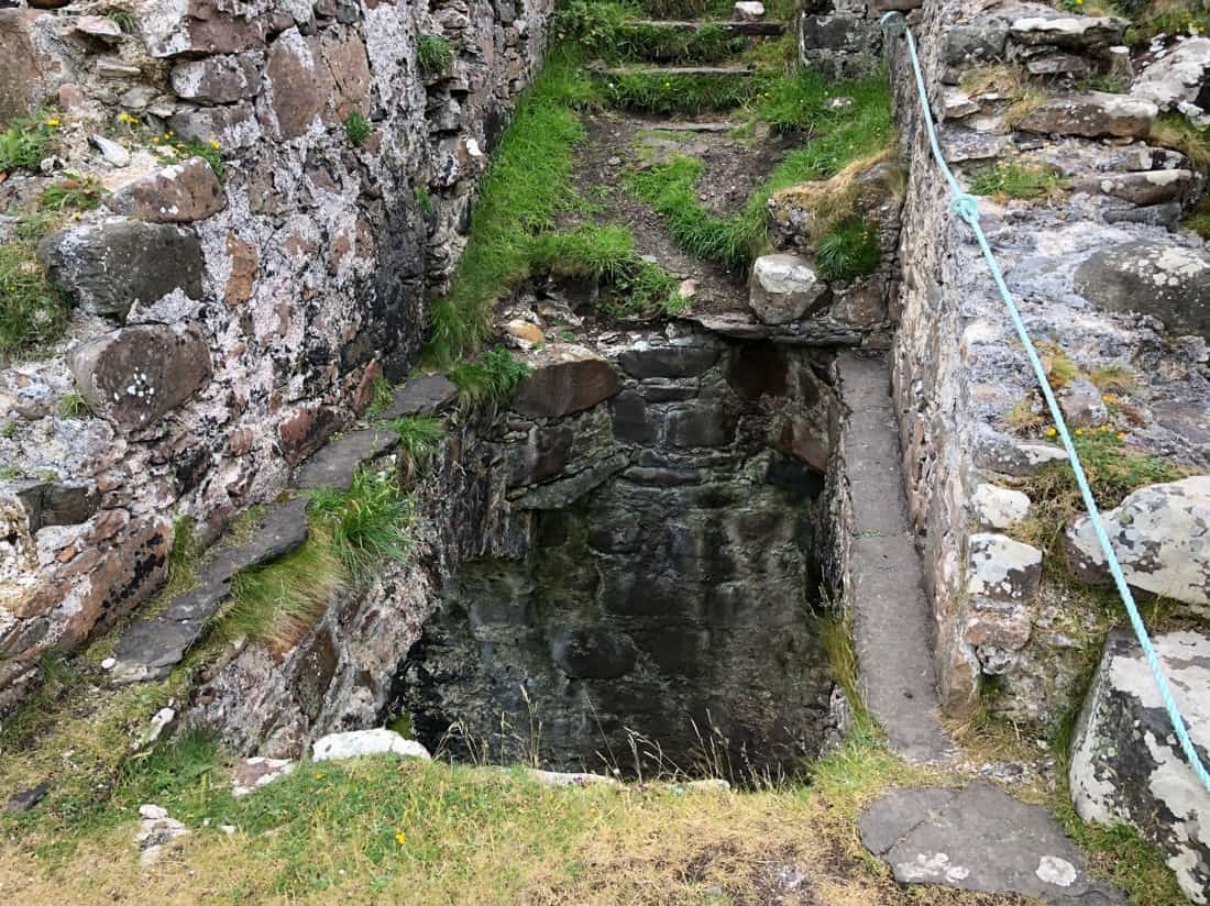
There was once a draw bridge across this opening. Now just a piece of rope to hold and a small ledge to shimmy along.
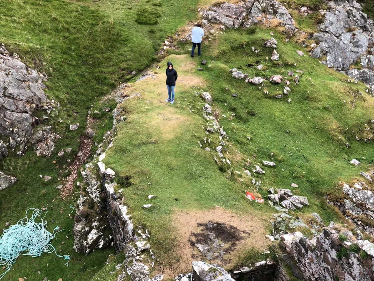
Pam decides against the piece of rope and shimmy ! Once up the top there’s not much to see other than a wonderful view of the Cullin Hills and Rum Island.
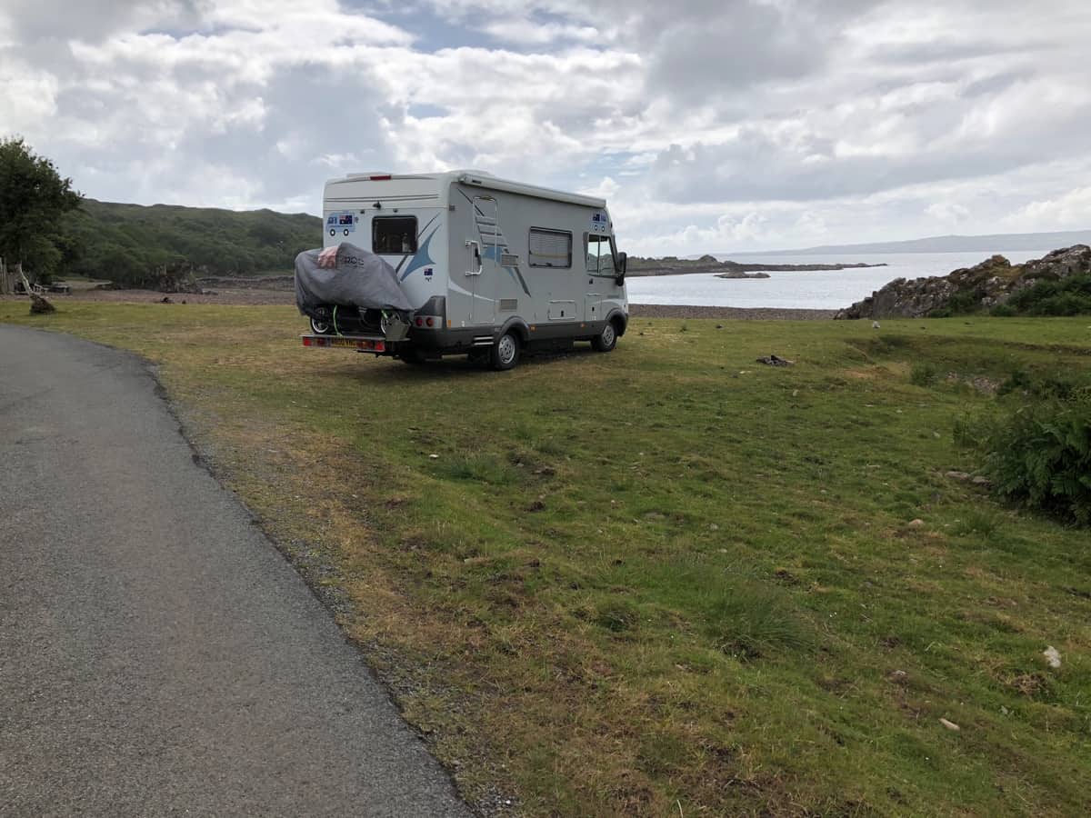
Back from our adventures walking out to Dun Scathiag, it’s time for a beer and wine. Another night of wildcamping, but not so lonely as we are soon joined by 3-4 campercars.
Date: 20th June 2018 Travelled: 125 kilometres from Ullapool to Rhiconich, Scotland. Visited: Driving the North Coast 500 Stayed: Layby adjacent an […]


