Travelled: 161 kilometres from Leines to Braset on TR13 through the Nordland.
Visited: Ferry from Levang to Nesna NOK136, Hellåga Islands (viewing point, free), Grønsvik Fort (free), ferry from Kilboghamn to Jeldvika NOK261, ferry from Agskardet to Forøya NOK 112.
Awoken by the sound of a noisy truck passing on the bridge overhead its already light with the dawn. Checking the clock it’s 4am… roll over and it’s 7.30am. With the constant cloud cover its hard to tell when the sun goes down or comes up, other than its late and early.
By the time we get up and I make a coffee the drizzle has started again, you cannot say the weather isn’t predictable. It changes several times every day.
North on the Helgelandskysten again.
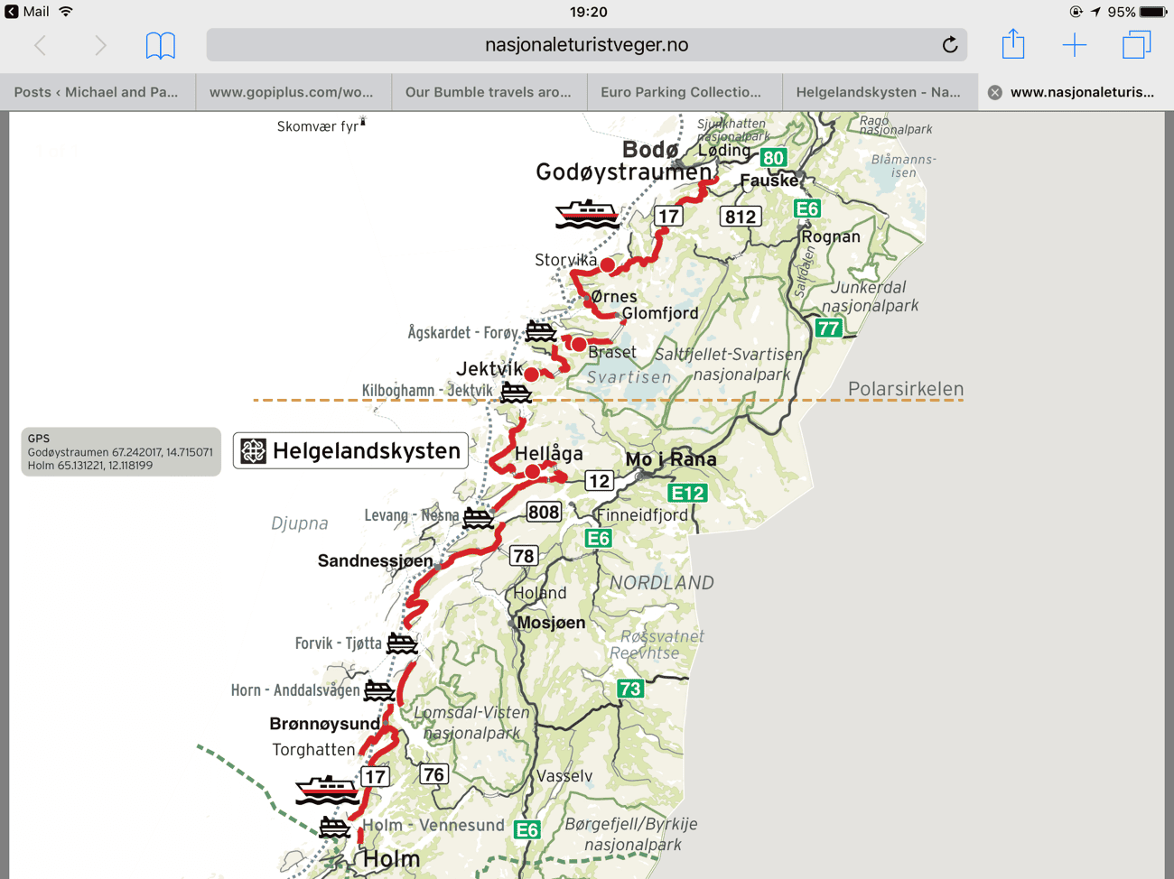
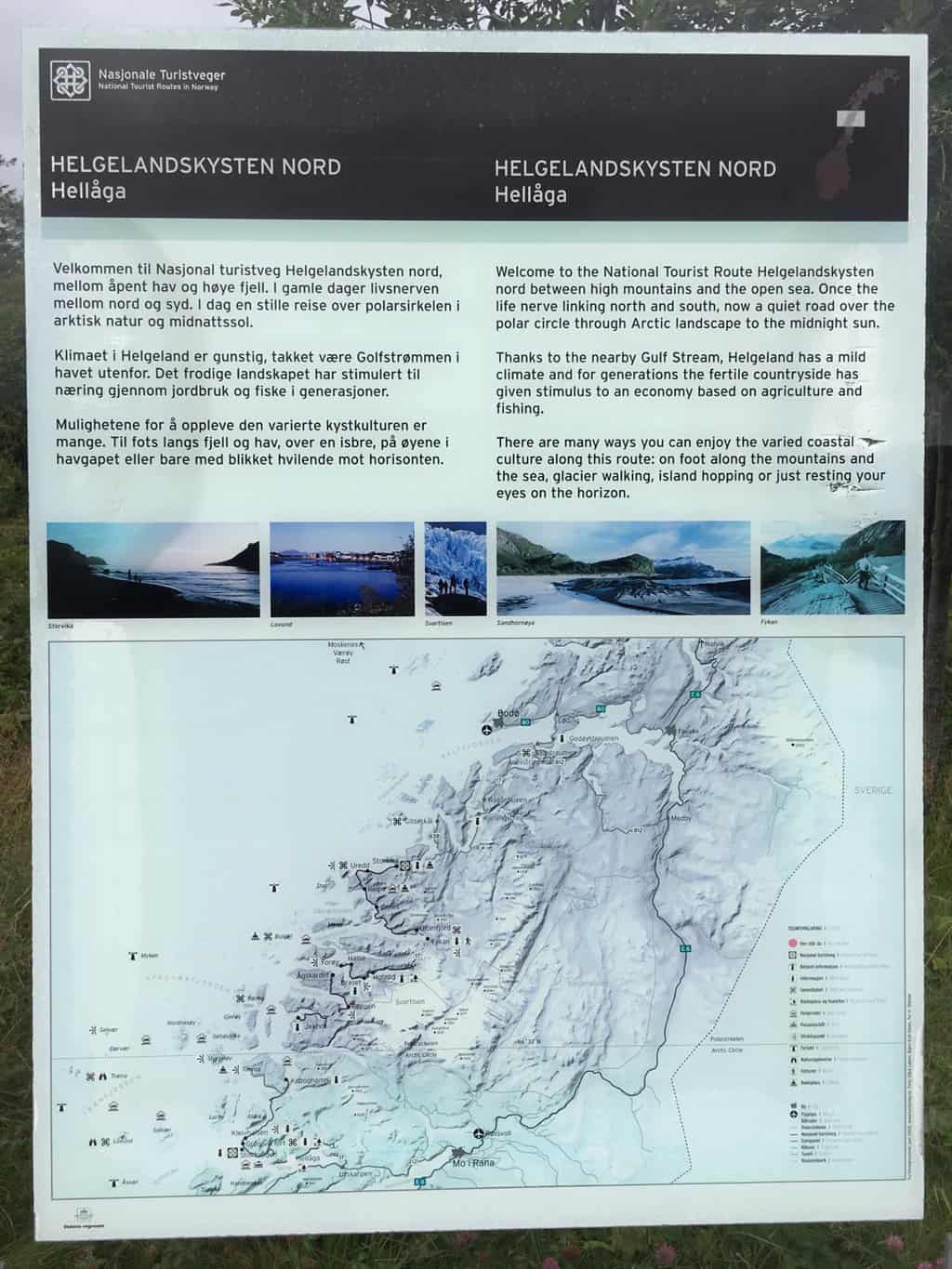
The Helgelandskysten tourist map
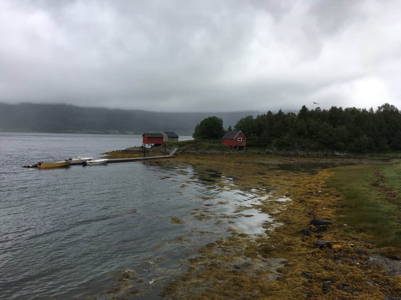
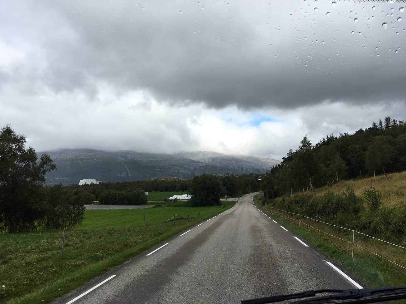
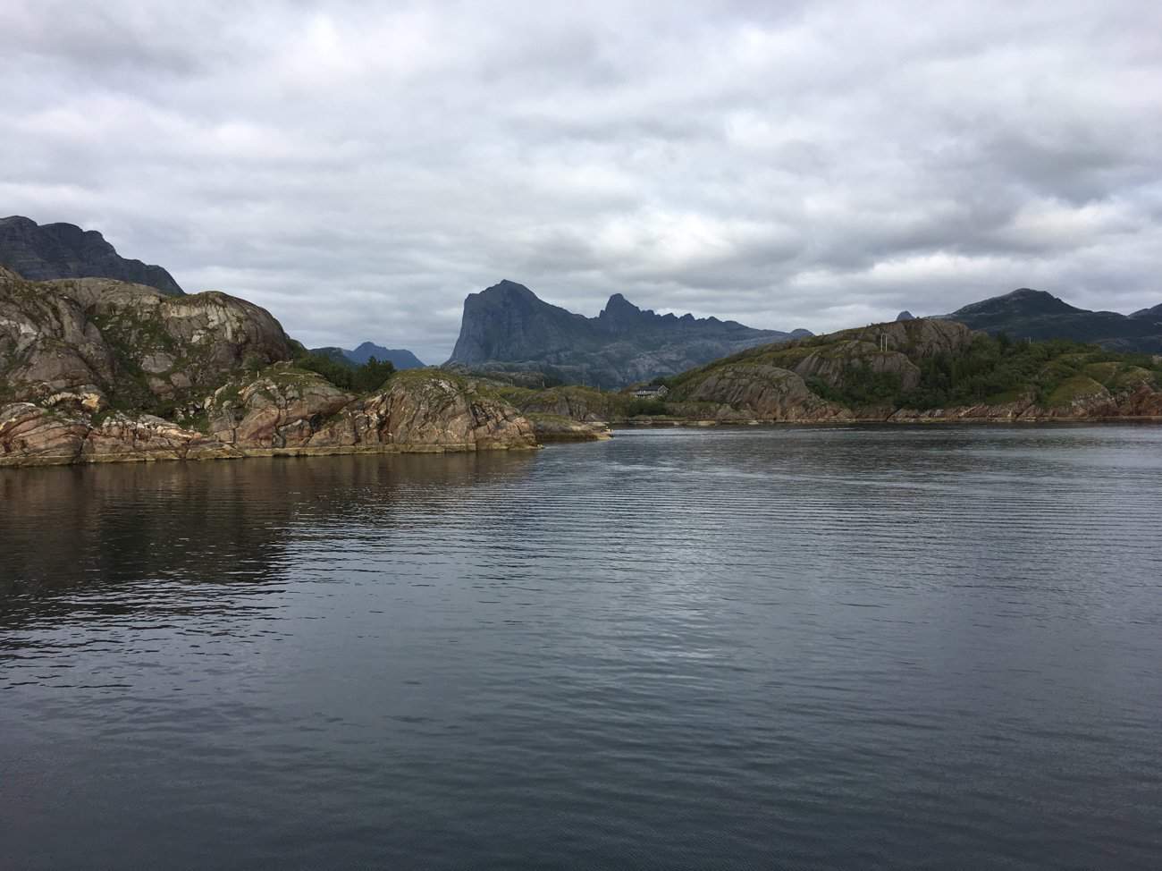
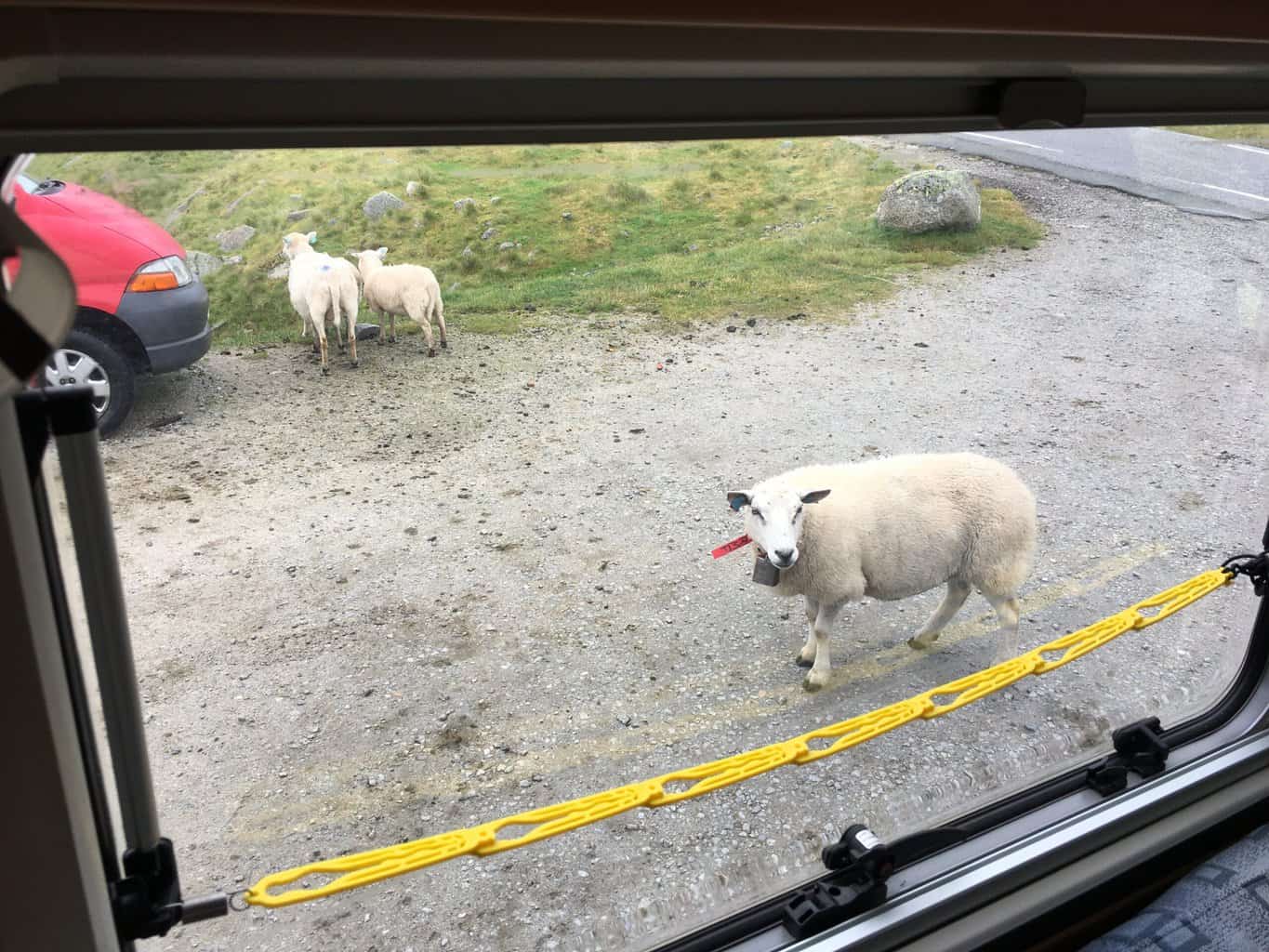
As you can see another grey morning on the Helgelandskysten. But there’s always something to catch your eye.
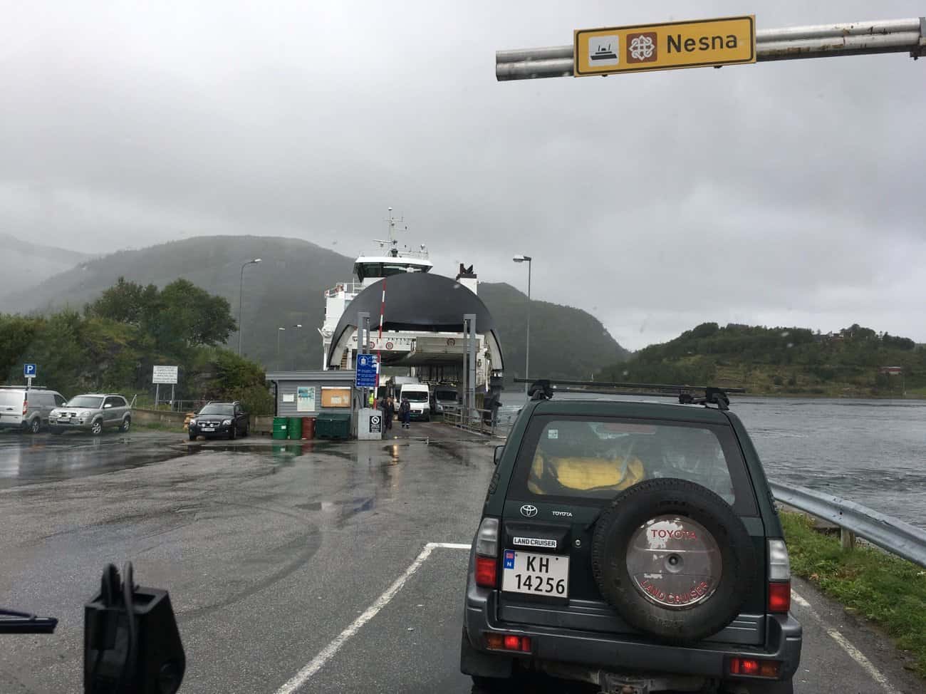
Only a 30 minute wait for our first ferry of today. Levang to Nesna about 6 klm.
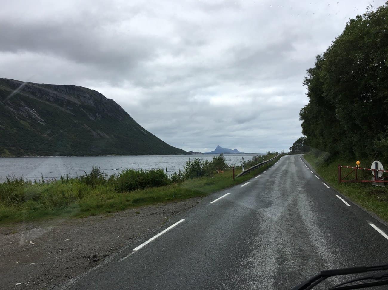
Driving north from Nesna, a patch of blue in the grey. The rolling hills and farms soon give way to a steeper climb.
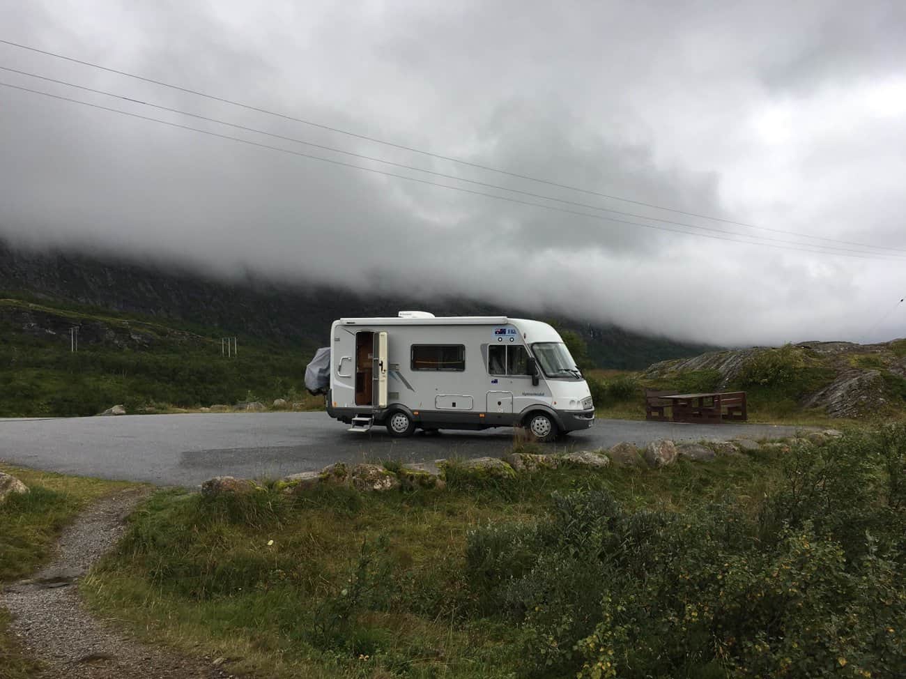
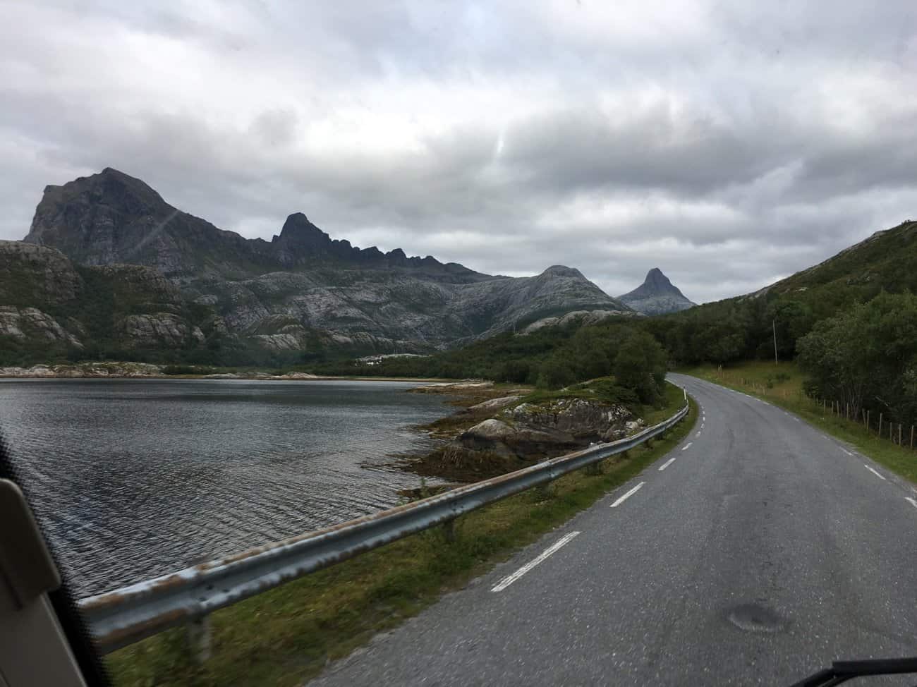
We stop for a coffee at a little picnic spot on top of a ridge. The temperature change from sea level is pronounced, its cold up here.
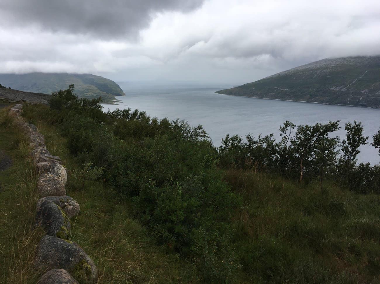
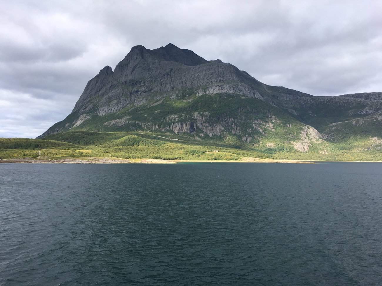
The view along the Sanfjord whilst we coffee.
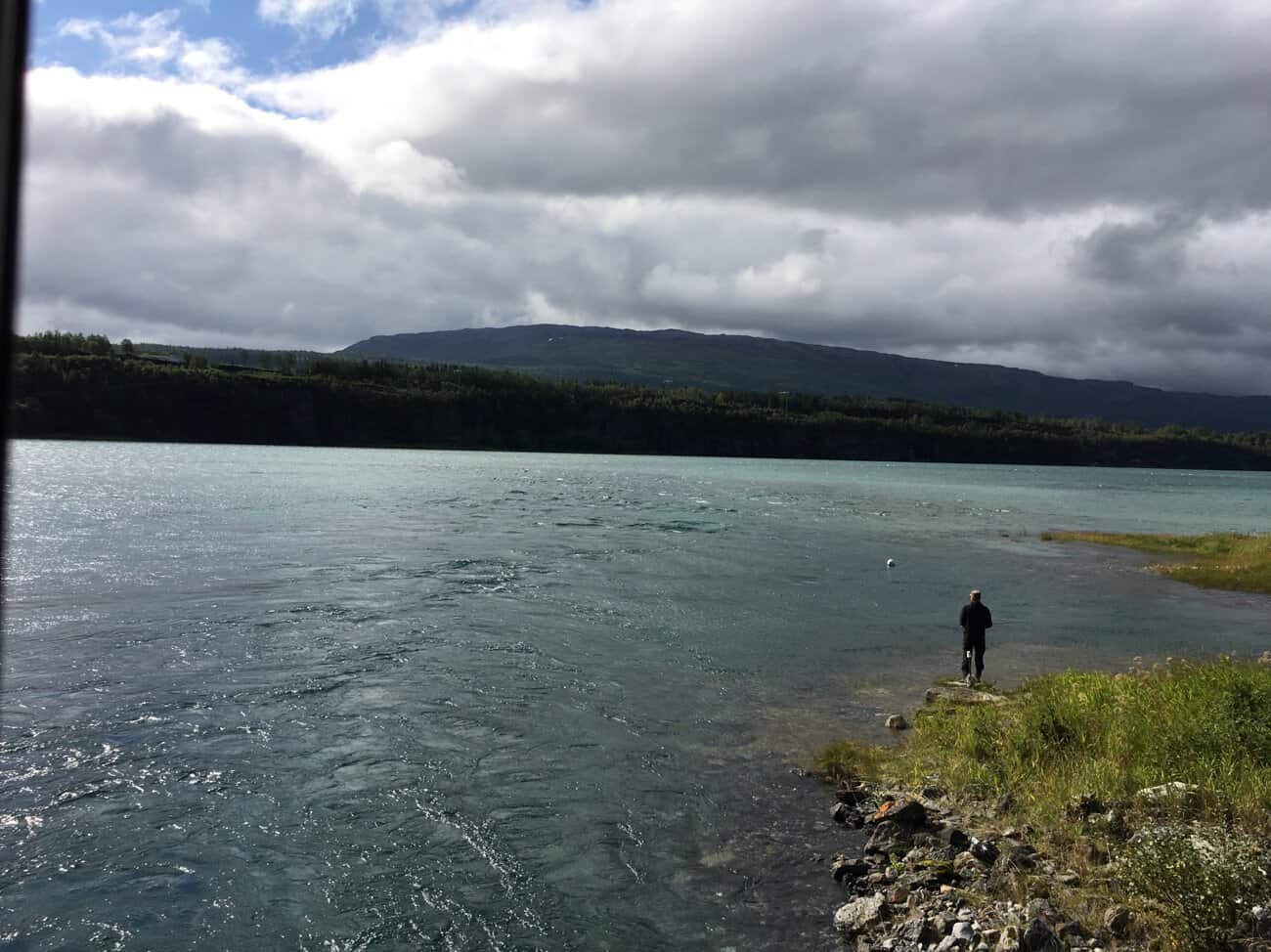
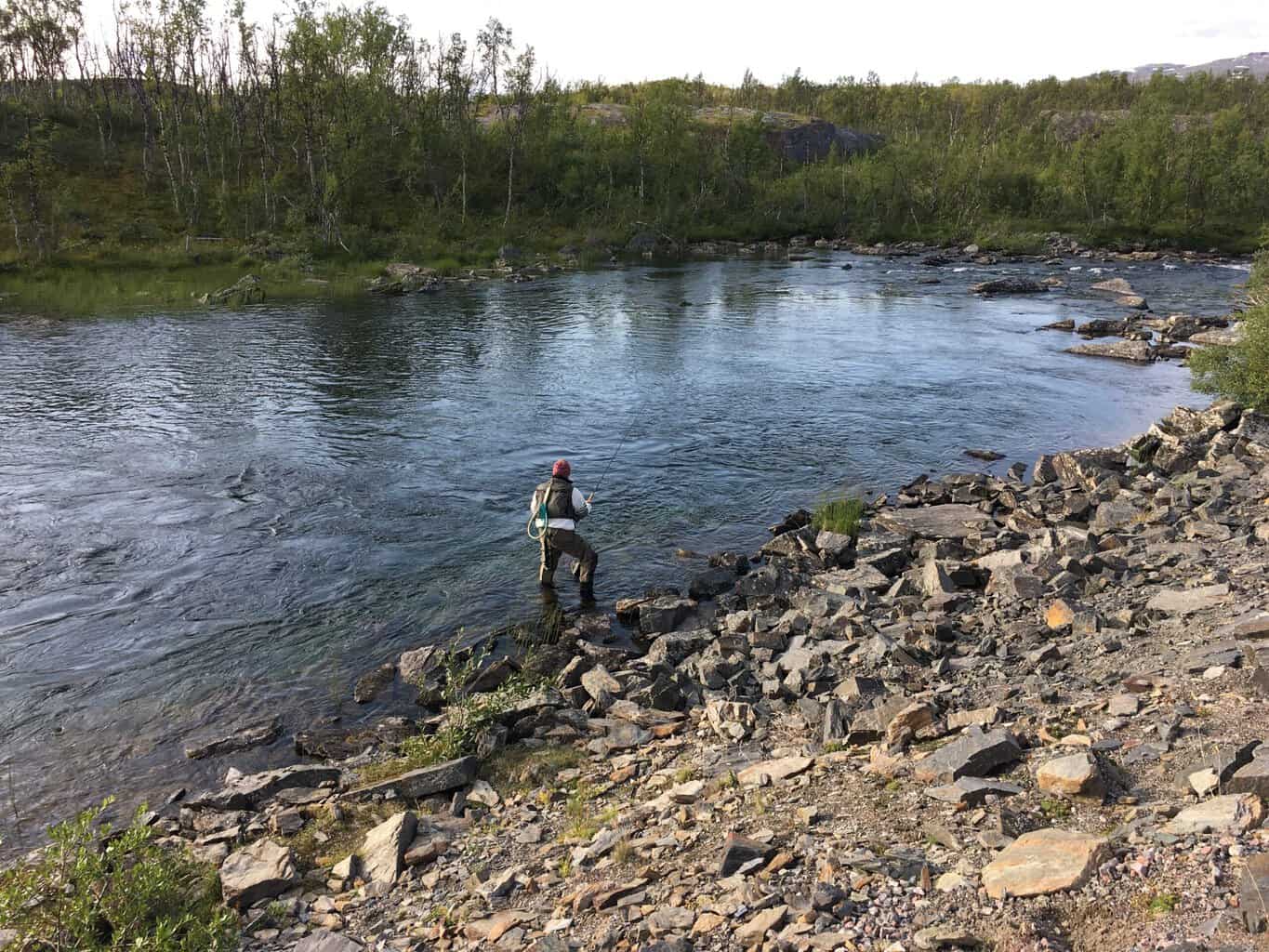
We stop here momentarily, glacial water is flowing from the steam underneath us and colliding with the warmer incoming tide. The iPhone doesn’t do it justice, but the surface of the water was moving and swirling around.
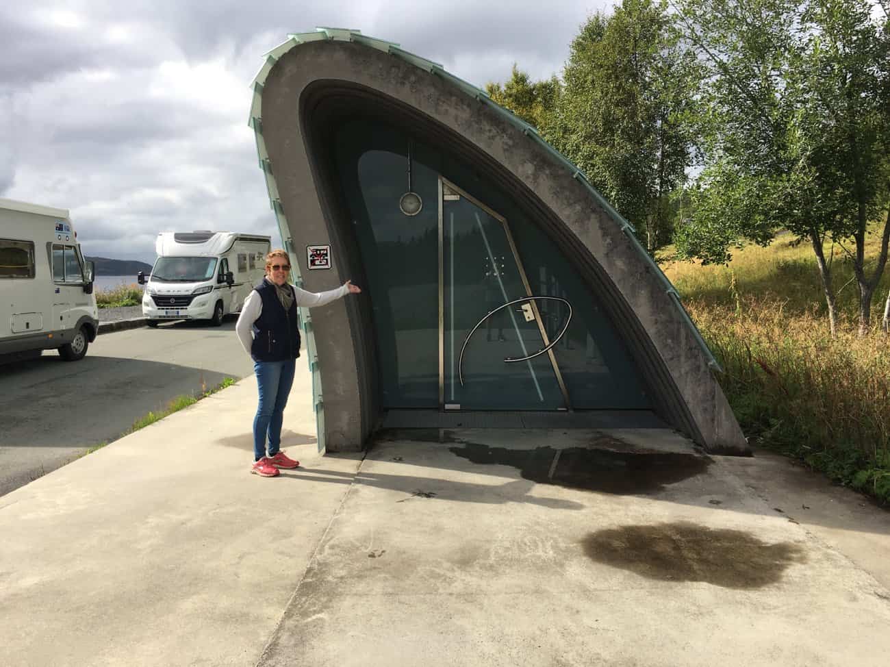
Our next stop is the picnic spot at Hellåga.
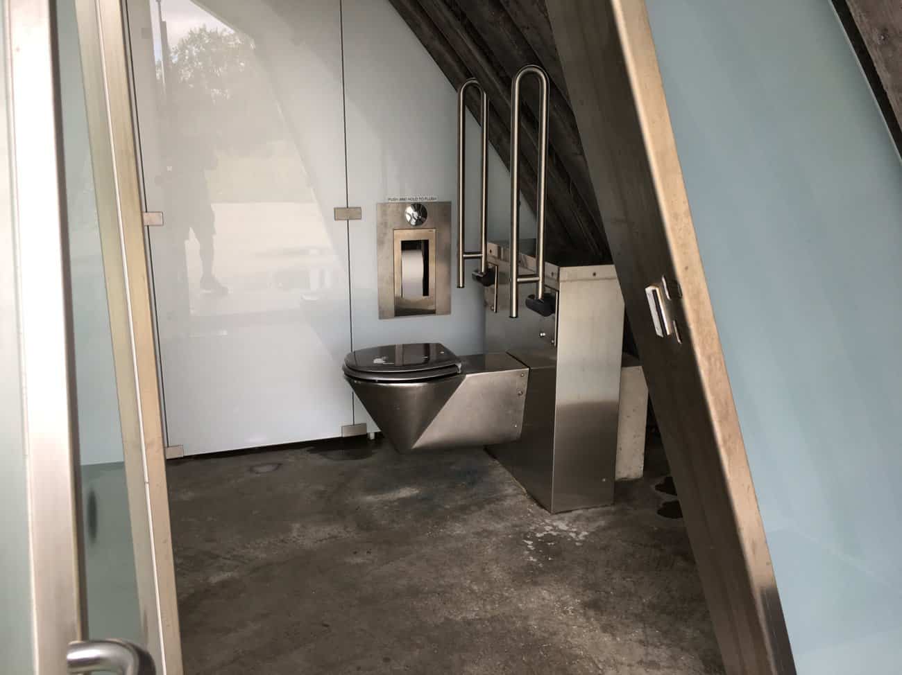
Just your usual Norwegian dunny is the middle of nowhere (Hellåga). Heated with warm running water.
Functional styling !
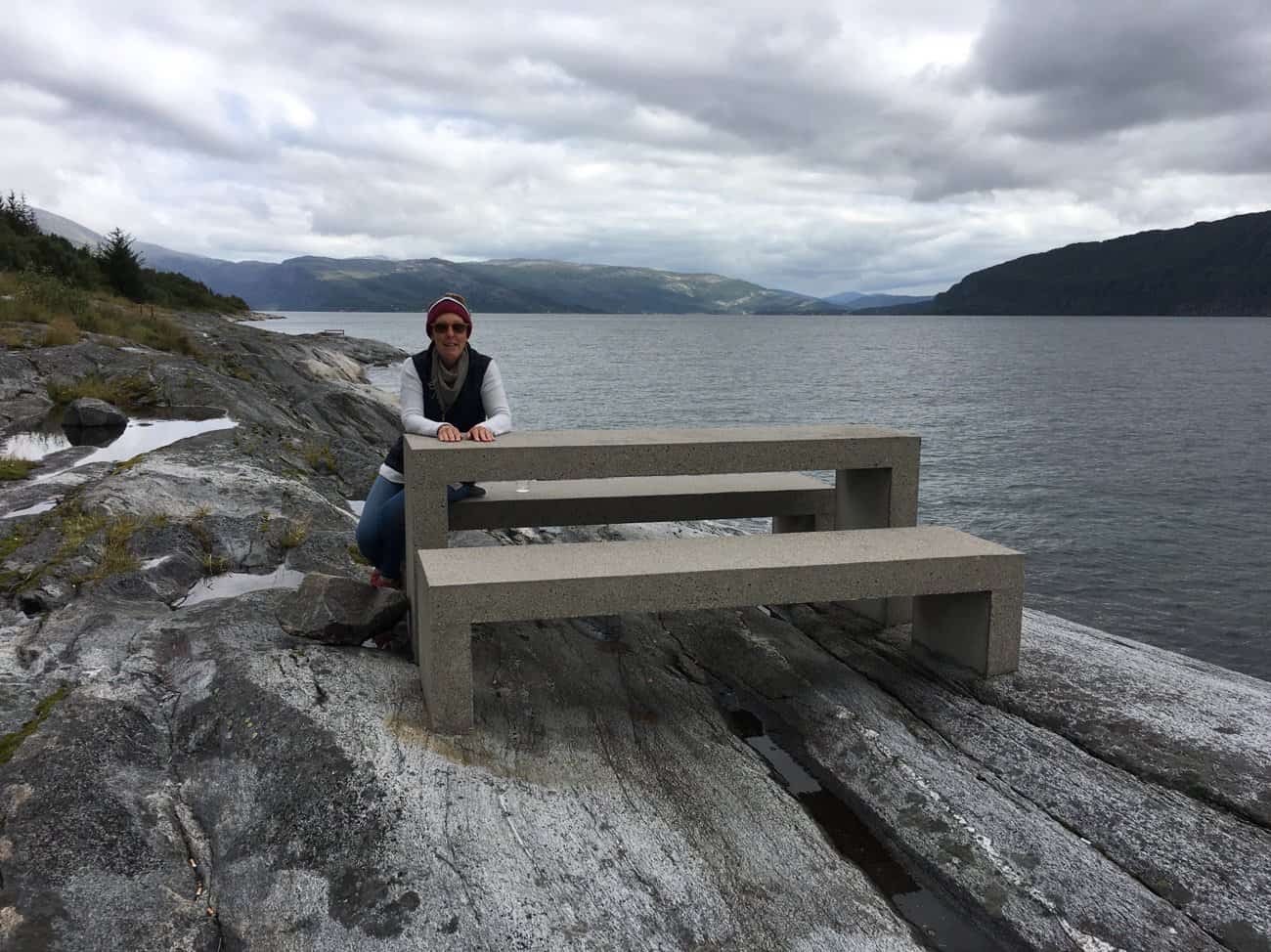
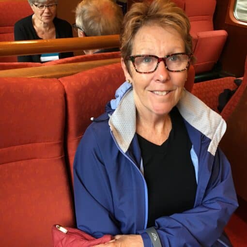
Pam sits at a picnic table overlooking the Hellåga Islands.
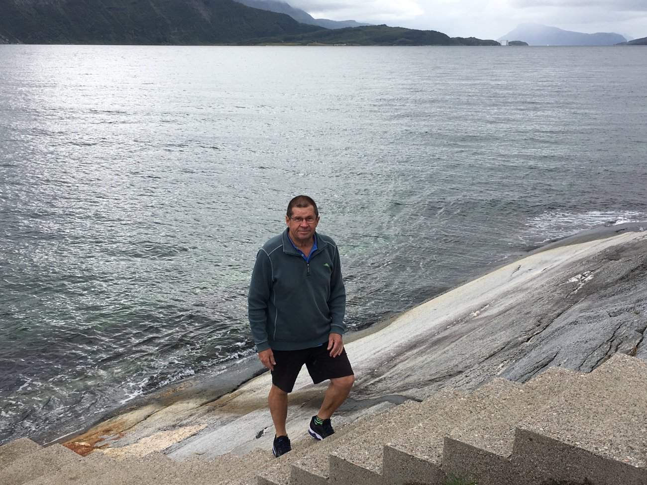
Still at Hellåga, a set of concrete steps lead down and into the water.
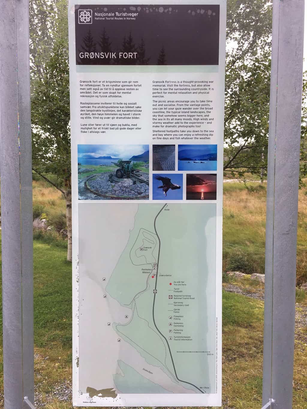
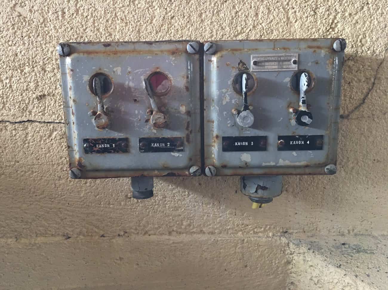
Our next stop in Grønsvik Fort and Museum. Like many things now the museum has closed for the season, but everything outside is unlocked so we go for a wander.
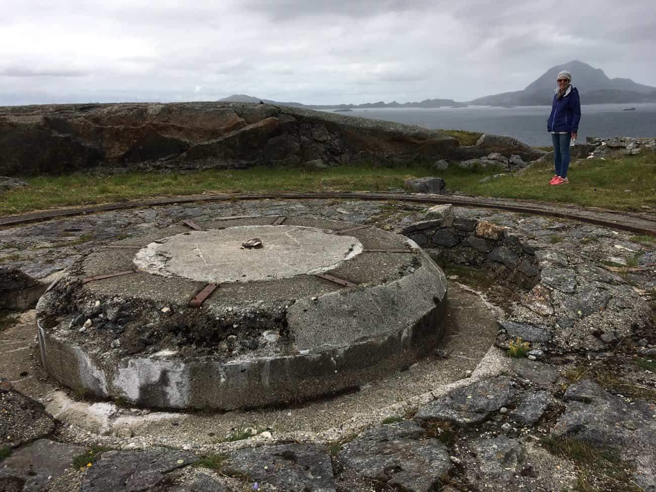
An old German gun emplacement overlooking the Hellåga Islands.
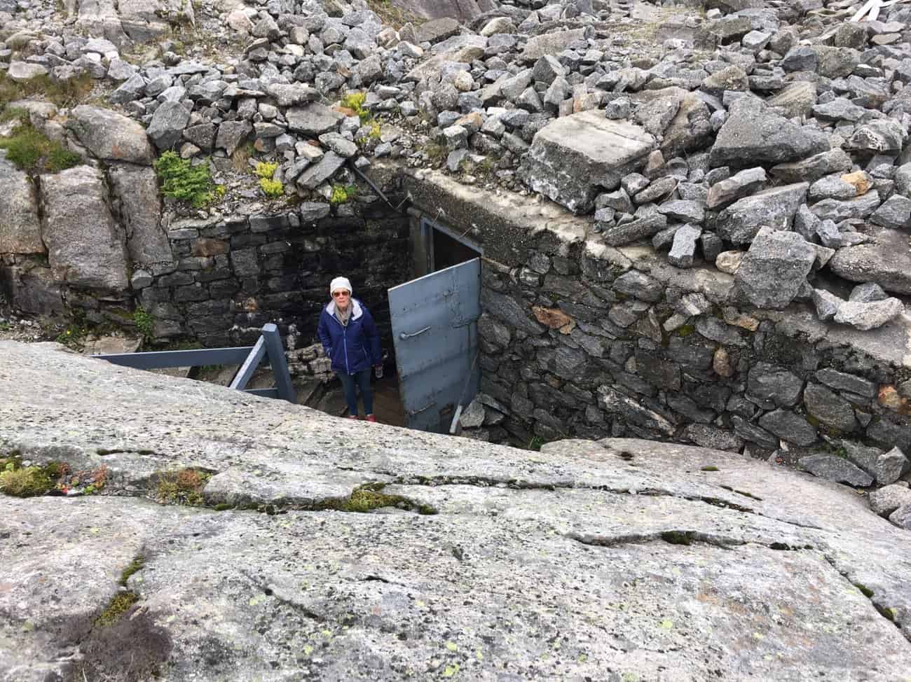
Lots of bunkers with interconnecting tunnel, which we explore with our iPhone torch.
We eventually find the command centre and the fire control panel. Felt very tempted to press a button.
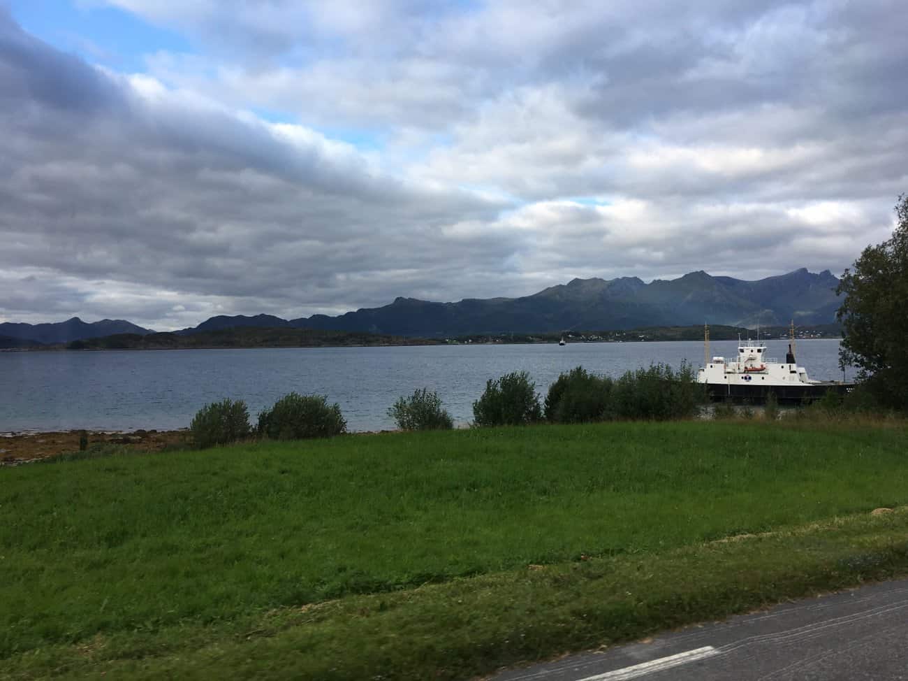
We drive on to Kilboghamn, to find we have a two hour wait for the next ferry to Jektvika. Over the past couple of days we note the ferry timetables have all changed to low season.
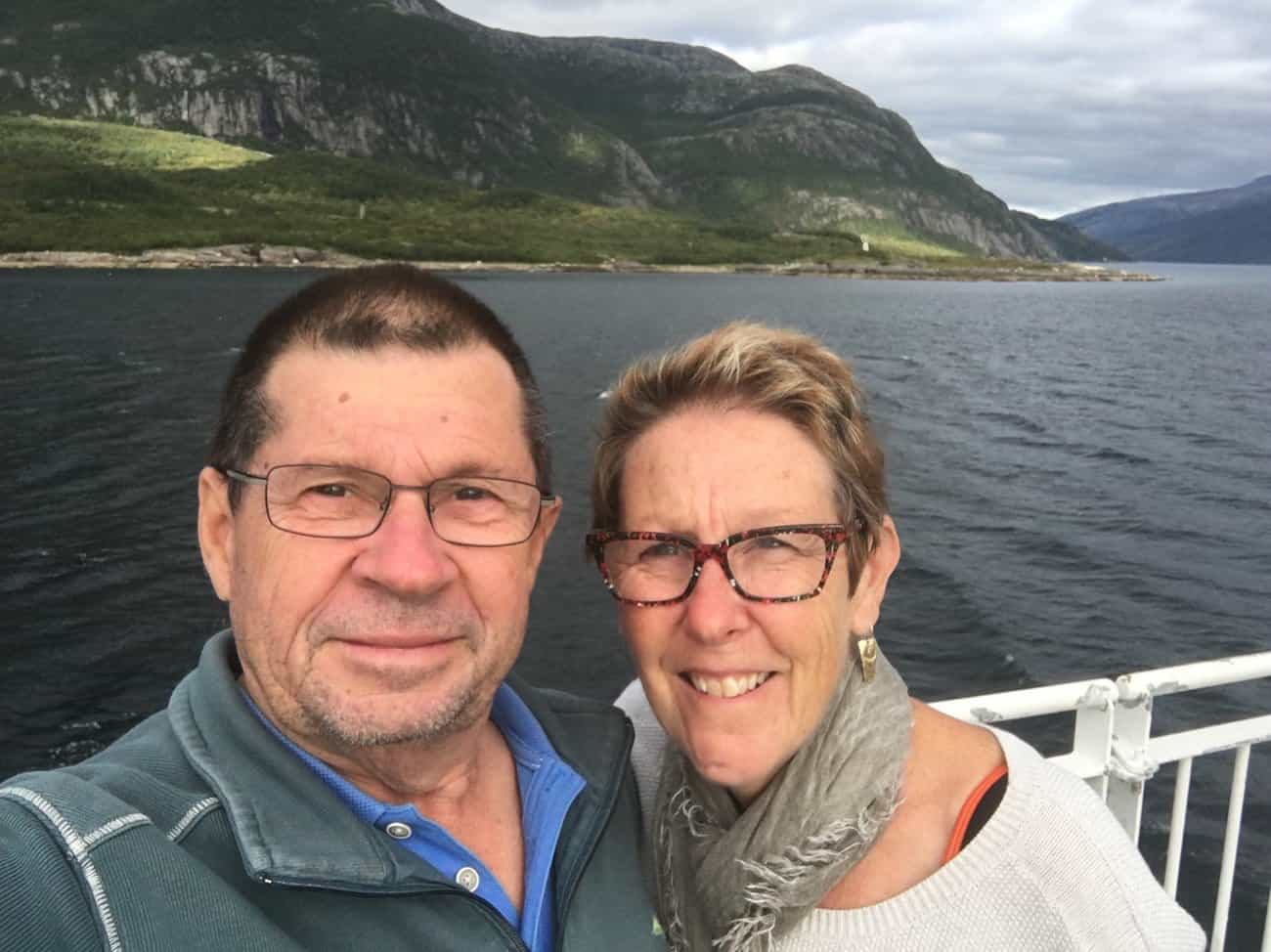
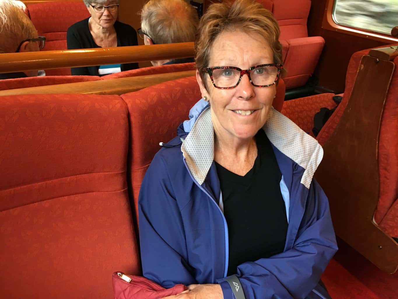
On the ferry to Jektvika, the sun is shining as we approach the Arctic Circle.
The Captain makes the call as we cross the imaginary line in the water. Pam and I rush out to grab a quick selfie, it’s freezing out on deck and we quickly retreat back to the warmth of the saloon.
The passage to Jektvika is just over an hour, so its getting late as we come into the port. The landscape is very barren and stark.
The next ferry is 30 kilometres away in Agskardet, so we do a bolt straight for it, with 10 cars trying to keep up. The landscape continues.
As we come down the hill the ferry is waiting and we roll straight on.
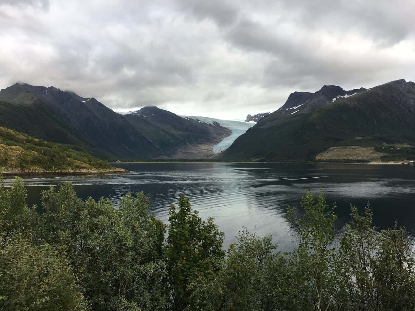
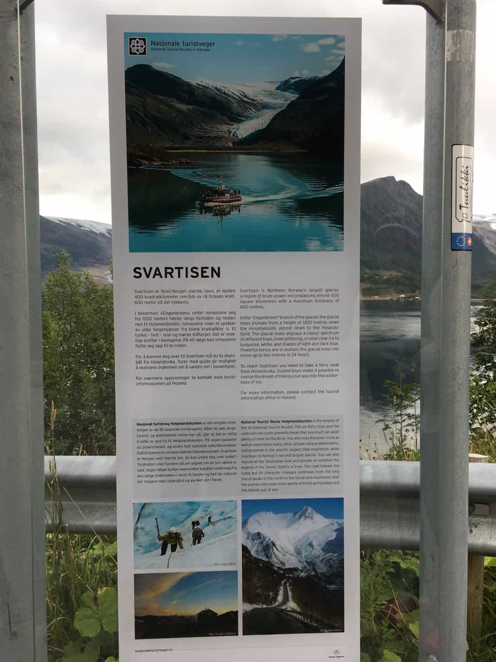
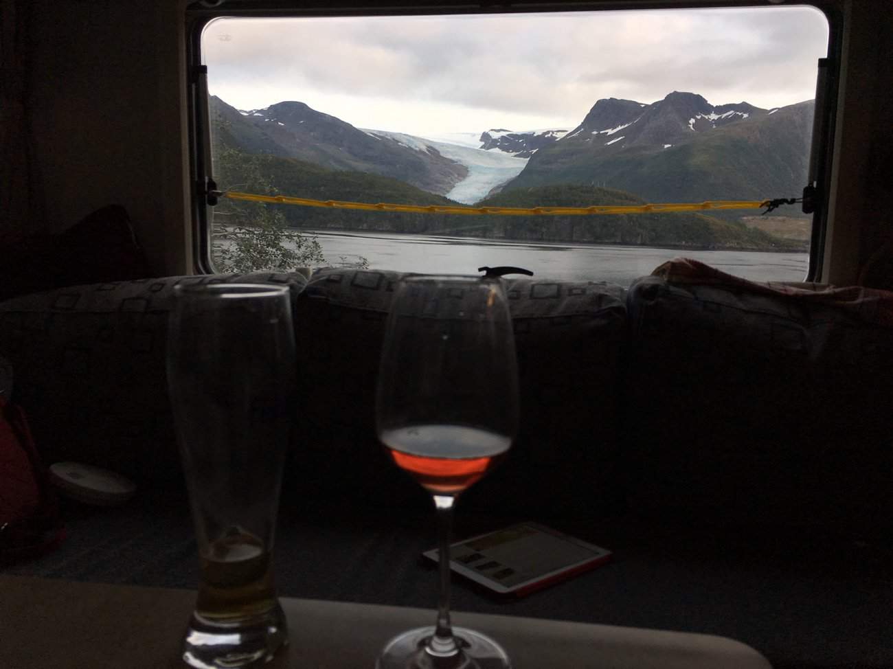
Its been a long day, we took the last of our Wiltshire sausages out of the freezer this morning and they still havn’t thawed out. So we stop at the supemarket up from the ferry terminal Forøya and pick up some meat for the BBQ tonight. We find a spot for the night overlooking Svartisen Glacier near Braset. Its 8pm by the time the meat is on BBQ and we’re enjoying a drink.
You can have a read yourself.
The sort of view you can only get wildcamping in a motorhome !
Travelled: 190 kilometres from Vradal to Sinnes in southern central Norway. Visited: Dalen, then driving the 45 along the Bergsdalen and Flogdalen. […]
Hi Guys, What fascinating dunnies!!!!! Hope the puddles outside aren’t from people who couldn’t wait!?!?!? Do you guys run a diesel heater when you ‘free camp’ ???? Keep living the dream for all of us who can’t make it over there.:) 🙂 Cheers Denice


3 thoughts on “Tourist Route 13 Helgelandskysten (part 3), Norway 2017 🇳🇴”
Hi Guys, What fascinating dunnies!!!!! Hope the puddles outside aren’t from people who couldn’t wait!?!?!? Do you guys run a diesel heater when you ‘free camp’ ???? Keep living the dream for all of us who can’t make it over there.:) 🙂 Cheers Denice
Great view but it looks cold.
What a wonderful trip.X