Travelled: 200 kilometres from Grong to Brønnøysund in Nordland.
Visited: Driving TR13, ferry from Holm to Vennesund NOK121, walked the Torghatten
Stay: Bronnøysund marina stellplatz, free with power (out of season) N65.47067, E12.20275
We had a walk around Grong in the early evening, meeting an English couple. He was apparently born in Grong, going to school here. They come back to Norway regularly, but this time for his 60th school re-union. So after 10 minutes of chatting we wish them well and continue.
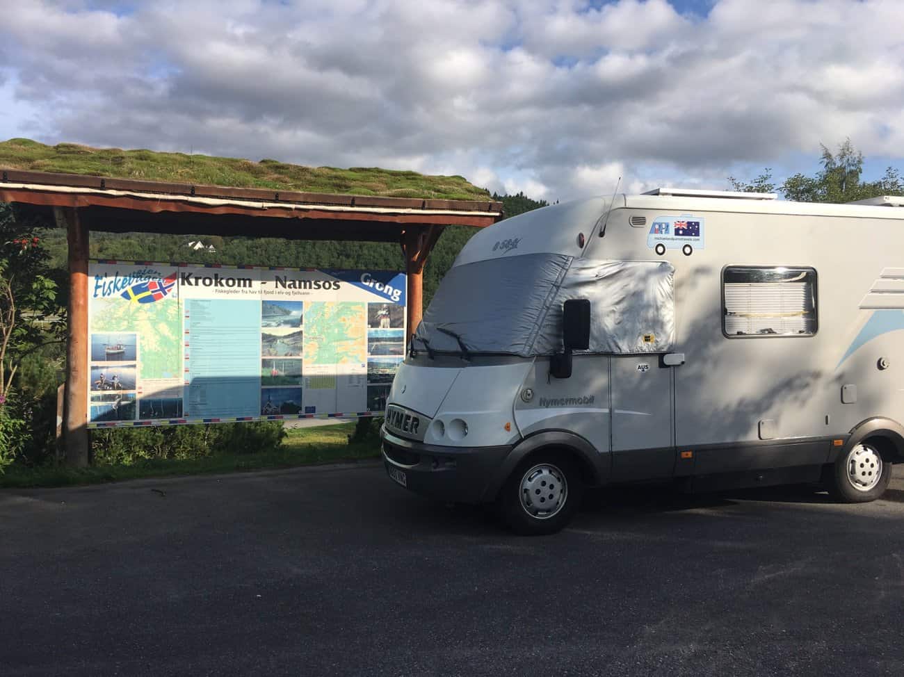
We park for the night in this little picnic area with 4 German motorhomes. The further we drive north the more Germans homes we see.
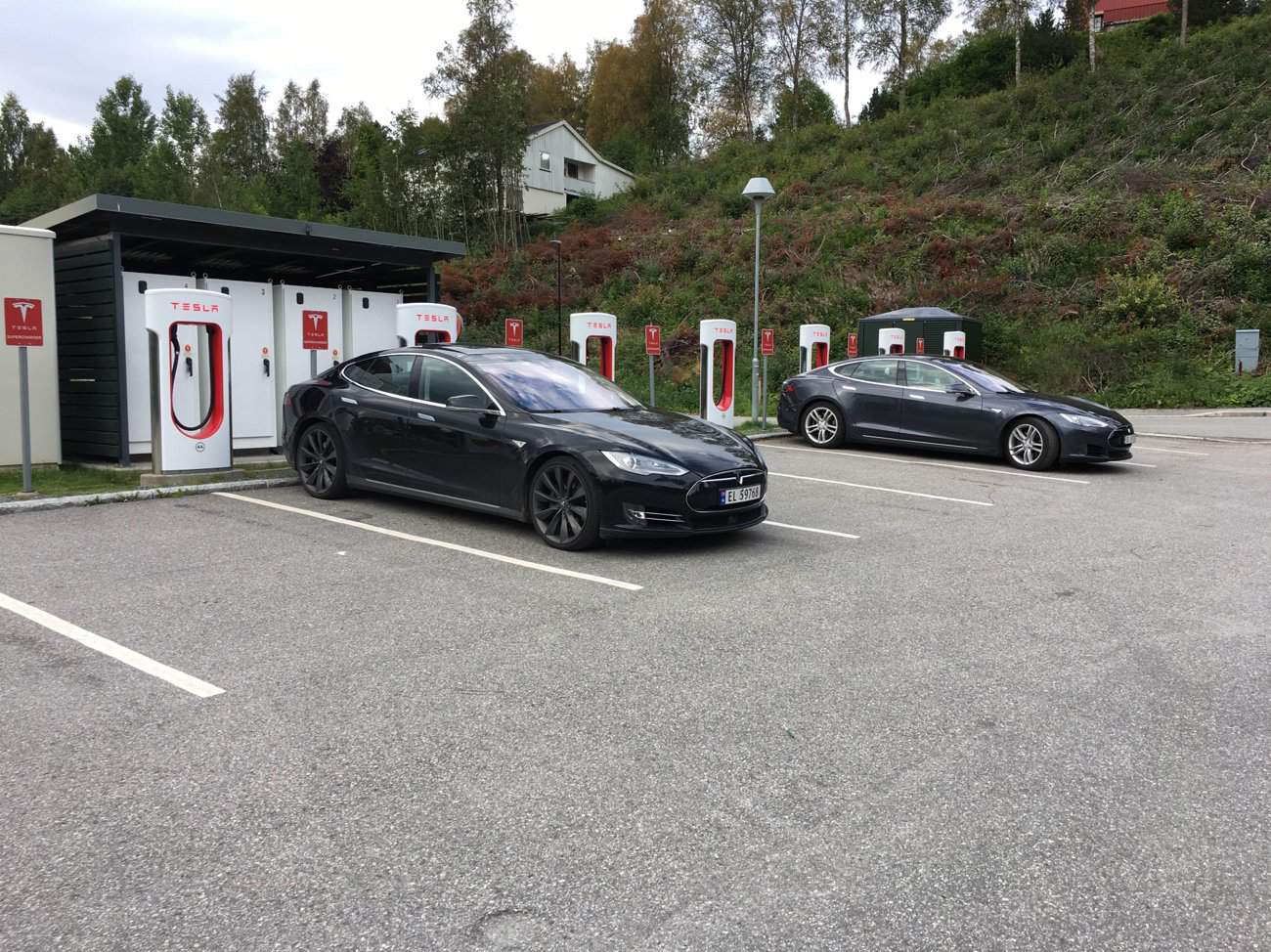
A little further up the street we find a charging station for electric cars. That not unusual in Norway, charging station are common in supermarkets car-park. But this one has 7 charging units for just Tesler cars.
After coffee, we go for an hours walk along the river before continuing north. We are on our 3rd day of reasonably mild weather, just a t-shirt again this morning.
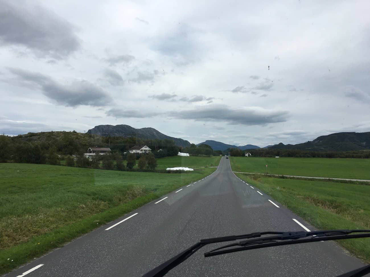
After almost 45 minutes on the 775 without seeing another vehicle, we turn for the Helgelandskysten.
Our strategy as we head north is to complete as many of the tourist routes as possible without taking ourselves too far off track. The Helgelandskysten is the longest of these routes being 433 kilometres in length, including 6 ferry passages. The route starts from the ferry crossing at Holm.
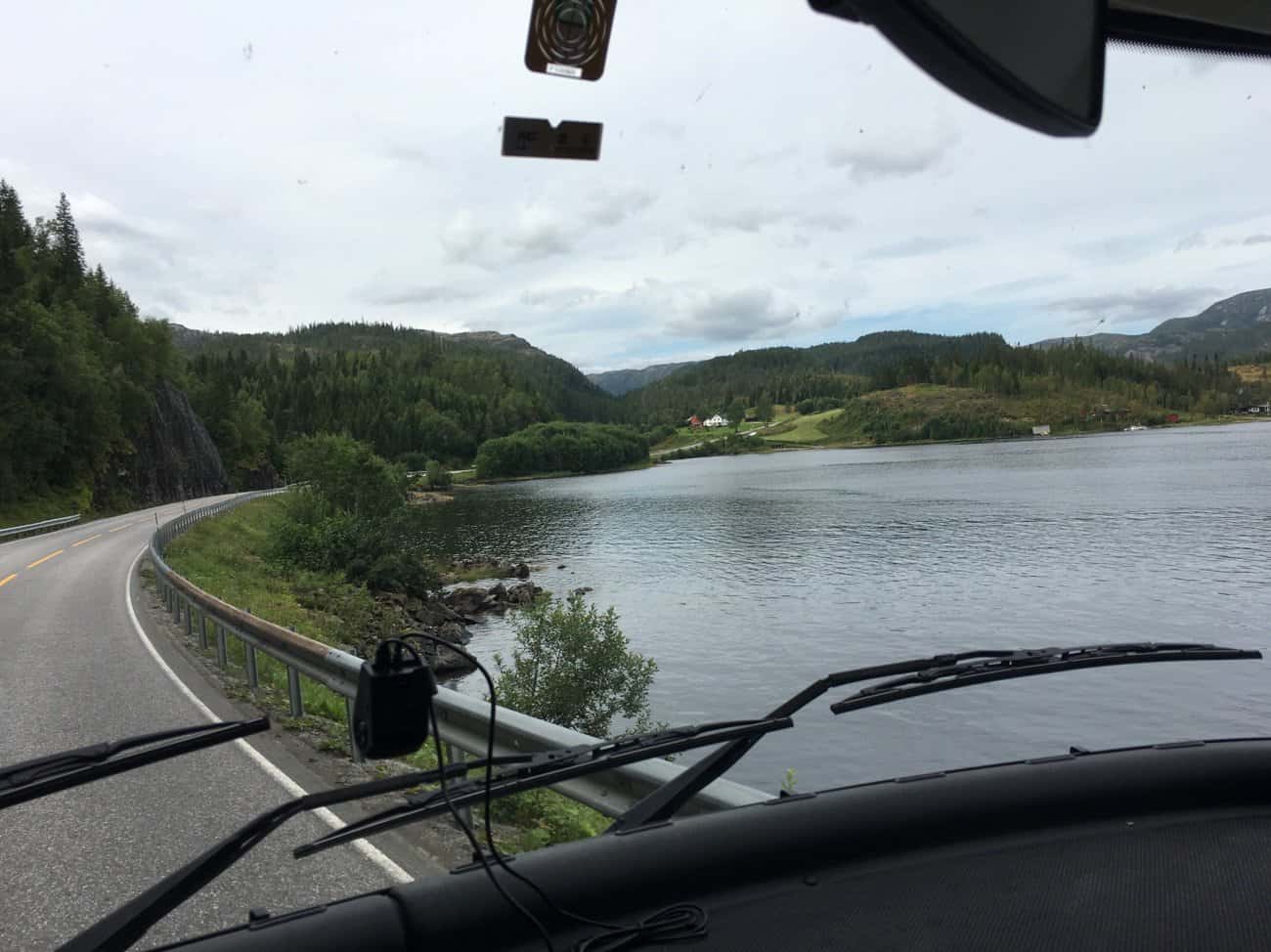
Since leaving Trondheim the scenery has been prodominately vast pine forests, broken only by freshwater lakes. Fishing is the big tourist draw up here. We see signs to this fishing camp or that everywhere.
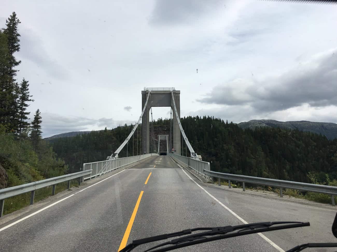
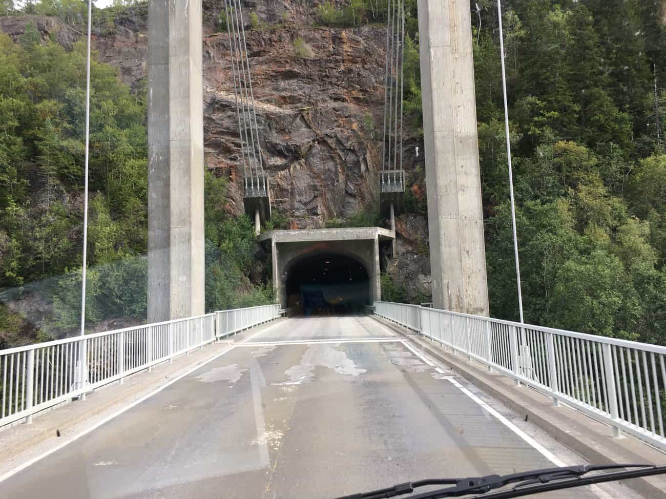
Norway is still the land of tunnels and bridges, this one gets two birds with one stone.
Off the bridge straight into the tunnel.
As soon as we cross by ferry from Holm, we join the TR13. The contrast in the landscape is very swift. The pine trees thin out and the rocky outcrops dominate.
We pass diary farms whenever the terrain levels out.
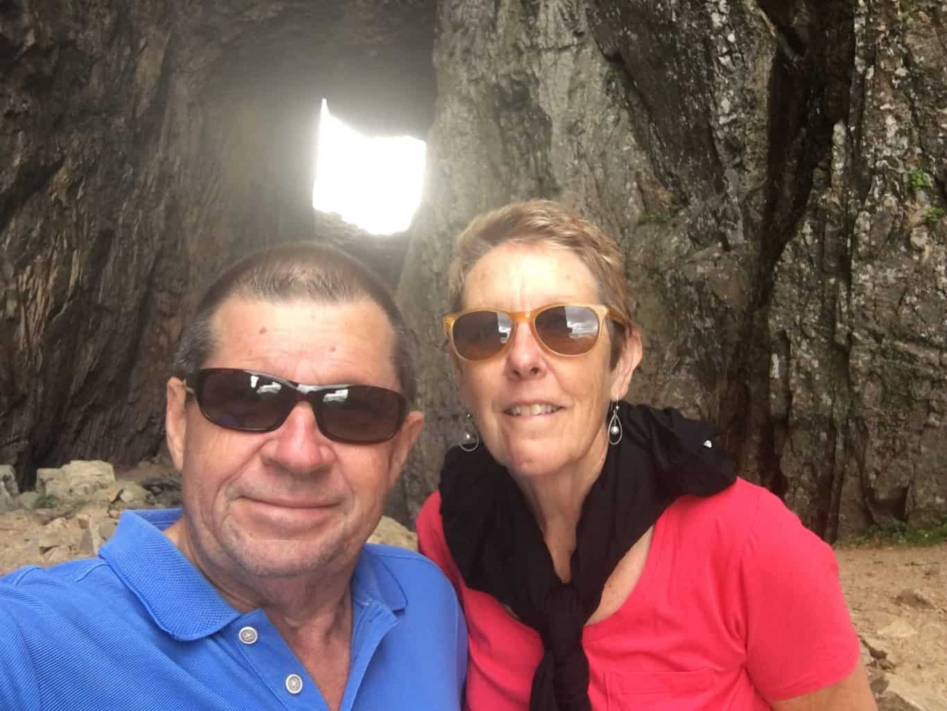
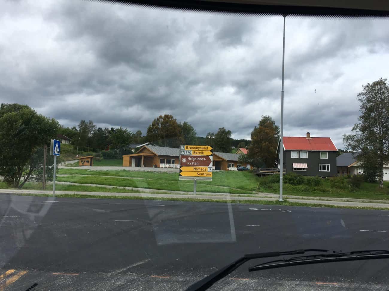
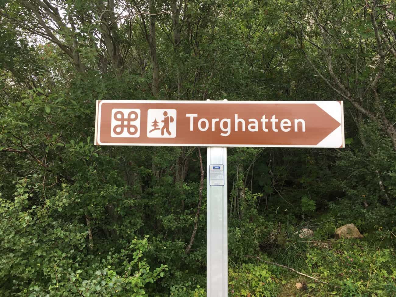
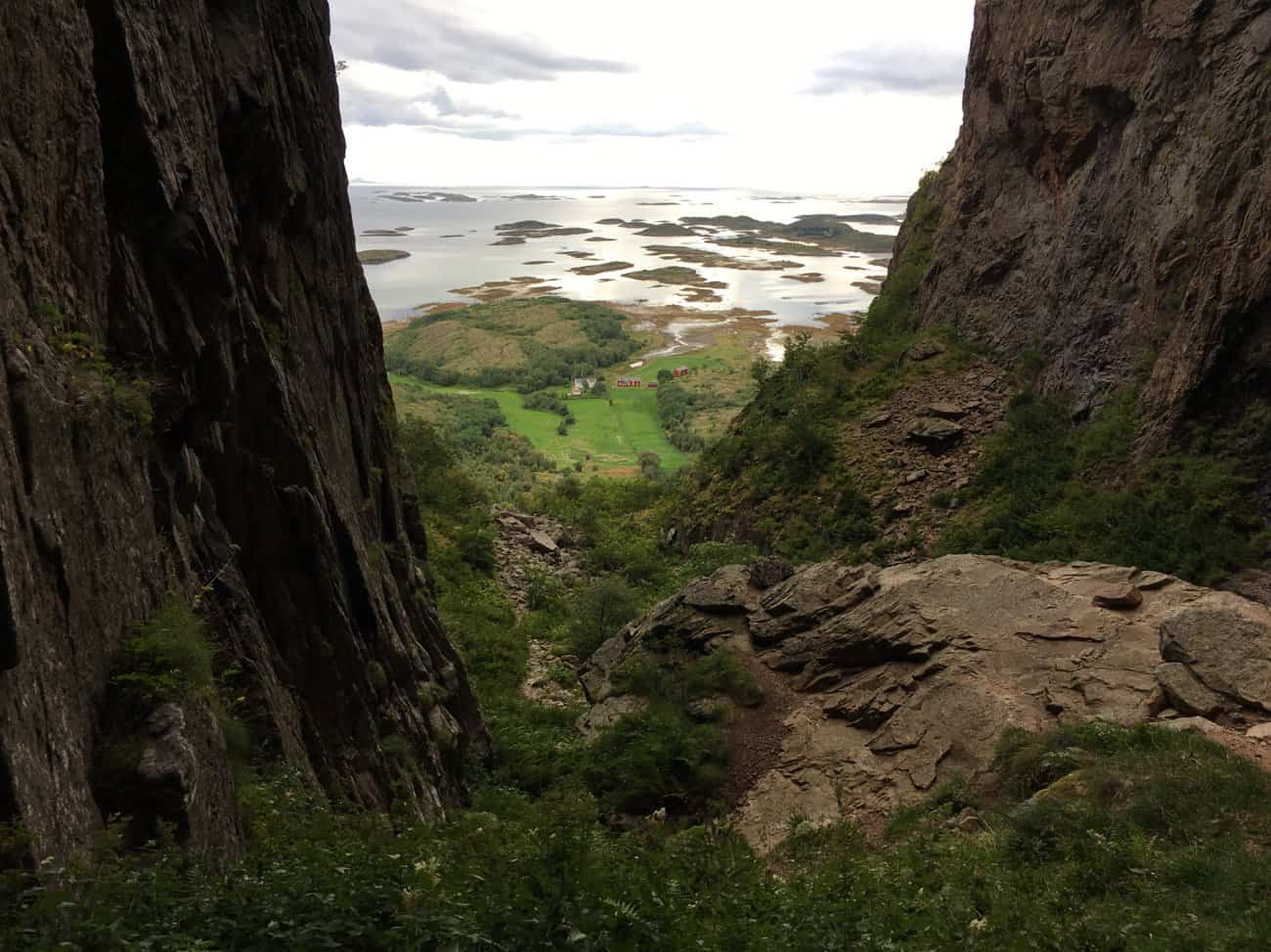
We drive on to Brønnøysund, then turn for the Torghatten. Our plan is to do the walk up to through the keyhole.
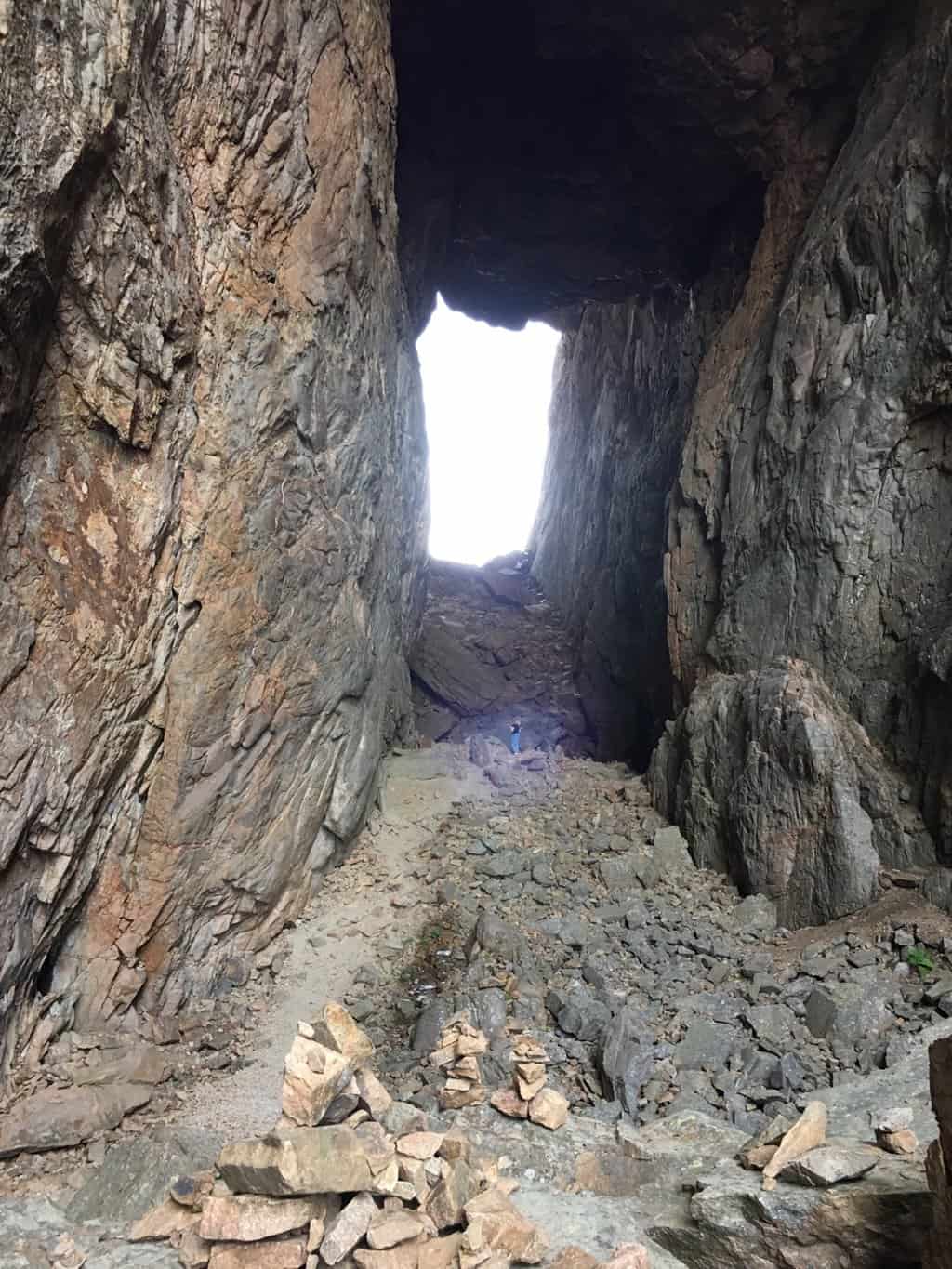
It’s only a 30 minute walk, although more a climb than a walk. The track climbs more than 100 metres in its 800 metre length so it get’s the heart rate up. The prize for your effort is looking through this keyhole to the ocean scenery beyond.
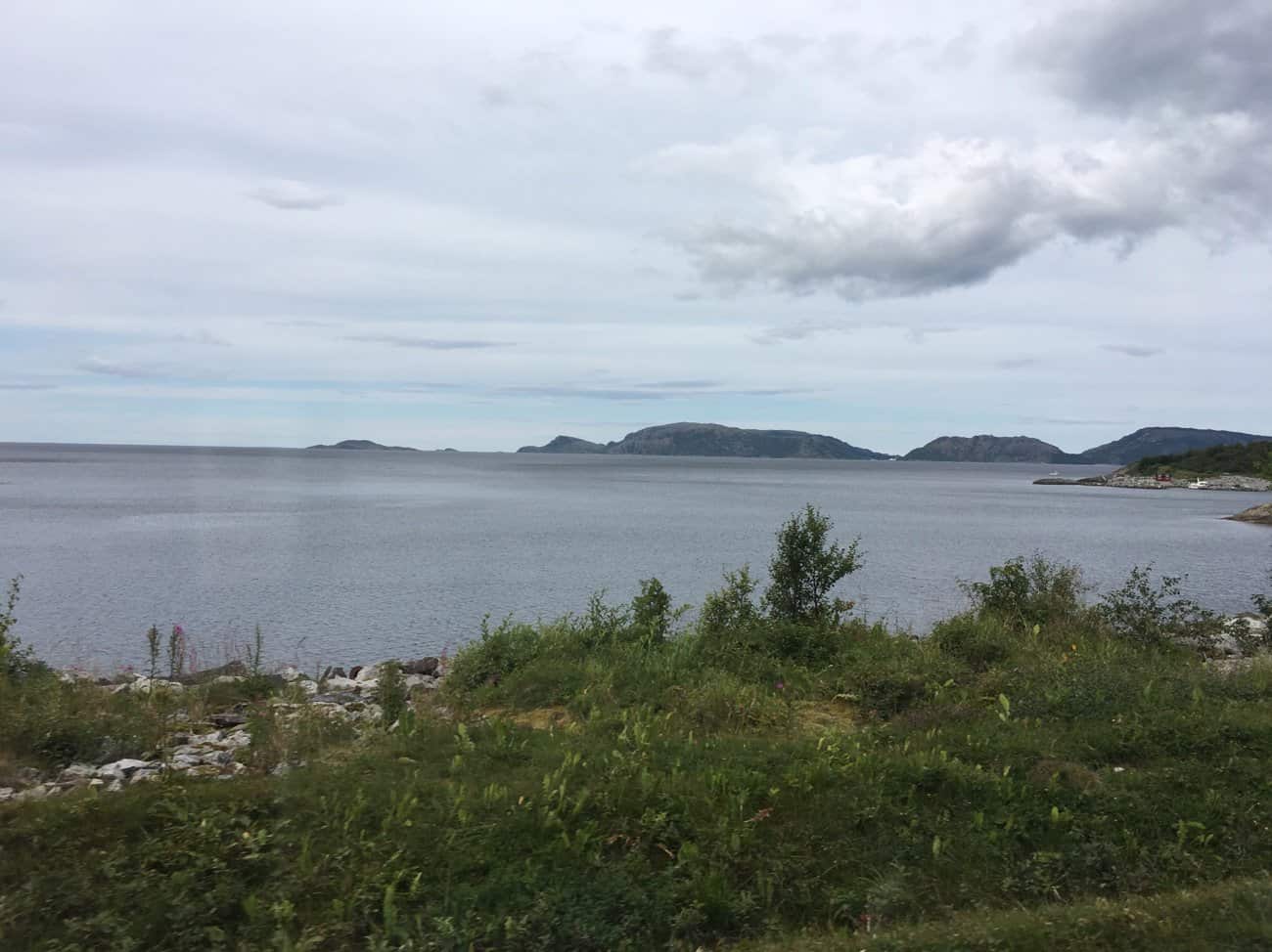
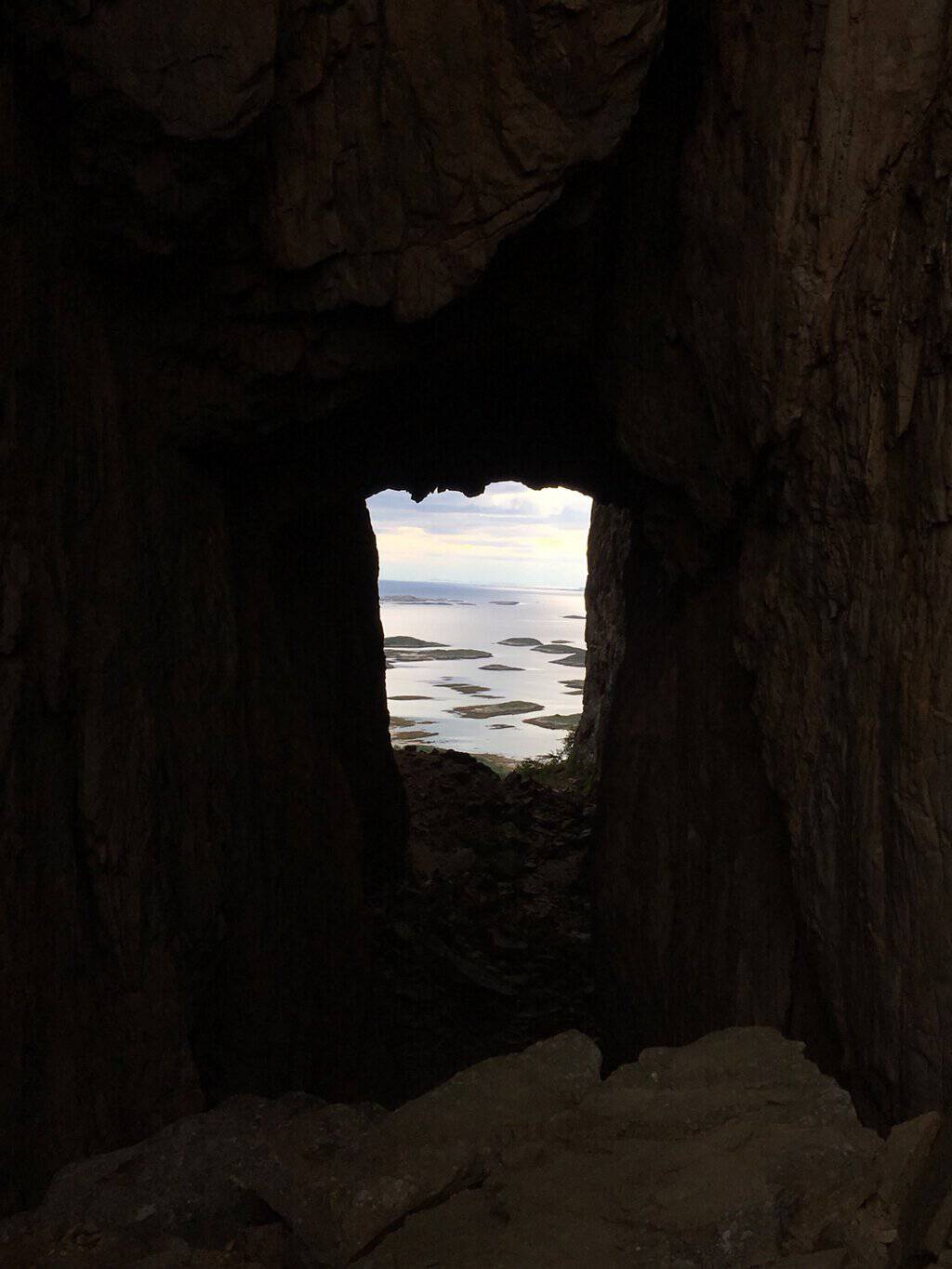
What the fuss is about, this wondrous view of the islands beyond.
Walking through to the far side the camera has a better chance of not overexposing.
Finished our visit to the Torghatten, we drive back to Brønnøysund, about 12 kilometres away. We had seen a couple of motorhomes on the marina as we passed through earlier, so headed straight there. A formal stellplatz in summer, but the seasons done, so it’s now free (with electricity).
Travelled: 127 kilometres from Nesje to Ovstestølen along TR11 the Geiranger. Visited: Just driving the Geiranger section of the road, Mount Dalsnibba […]
Travelled:58 kilometres from Elnesvågan to Vevang, in the Western Fjordlands. Visited: Driving TR12, the Atlanterhavsvegen, the Museum in Bud, the Hågå Columns […]
Travelled: 134 kilometres along TR14 from Flakstad to Kabelvåg Visited: Nusfjord and Henningsvær villages, free Stayed: Storvågan Museum car-park in Kabelvåg, free, […]
Travelled: 143 kilometres along TR14 from Kabelvåg to Lødingen in Nordland Visited: Austnesfjorden and Grunnfjord Stayed: The marina stellplatz in Lødingen, NOK180, […]


One thought on “Tourist Route 13 Helgelandskysten (part 1), Norway 2017 🇳🇴”
We live in a nanny state. Imagine Anzac Bridge without a centre line marked. I love the tunnel at the end of the bridge.